Search

Search Results

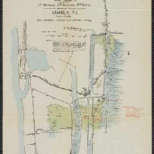
Sketch showing positions of 1st Brigade, 2nd Division, 8th Corps, in operations against Manila

event1900

location_onPhilippines

Created by the U.S. Army, this map of a small area south of Manila records Spanish and American trenches and troop and gun locations on the last day of the Spanish–American War (13 August 1898). Ground conditions (swamps, jungle, fields) are noted.

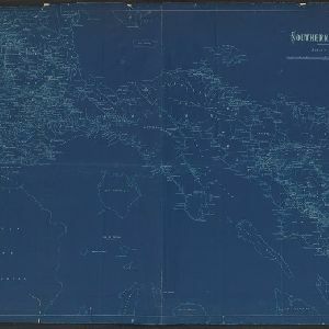
Southern Luzon

event1900

location_onPhilippines

This map of southern Luzon in the Philippines, and its associated islands, is divided into provinces, and features mountains with their heights, rivers and major settlements.

[Various Indonesian islands]

eventc.1900

location_onMalaysia, Brunei, Indonesia, Singapore

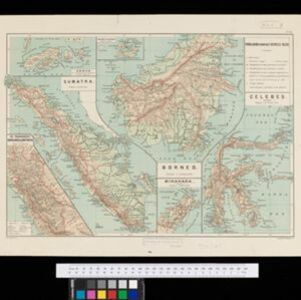
Seven locations in the Dutch East Indies on one sheet: the islands of Borneo, Sumatra, Celebes (Sulawesi), Ambon and Banda, the city of Padang and its region on the west coast of Sumatra, and the tip of the Minahasa Peninsula (northern Celebes).

A map of British North Borneo

event1899

location_onMalaysia, Brunei, Indonesia

The colonial territories of British North Borneo are shown in pink on this late 19th century map, with Brunei and Sarawak in green, and Dutch colonial territory in yellow. Sea routes around the British Empire are depicted on an inset map.

Baaien op de Zuid- en Westkust van Celebes

event1899

location_onIndonesia

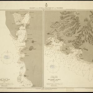
Two maps of bays of Celebes (Sulawesi), including bathymetry (sea depth), reefs and shoals, and coastal hills to use as landmarks. Obstructions in the water are marked ‘kr’ for coral, ‘m’ for mud, ‘st’ for stones, and ‘z’ for sand.

Burma

event1899

location_onMyanmar

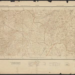
A large-scale topographical map of the states of Hsipaw, Lawksawk and Mongkung, within the Shan State of Burma (Myanmar). Elevation is indicated by contour lines, and travel and trade routes, villages, areas of cultivation and markets are also shown.

Chart of triangulation: No.21 Party, Northern Shan States (Upper Burma)

event1899

location_onMyanmar

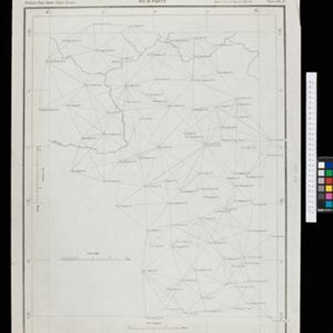
A triangulation map of part of Upper Burma (Myanmar), showing dozens of locations joined with straight lines to create a triangulation network.

Chineesche zee: Anambas Eilanden

event1899

location_onIndonesia

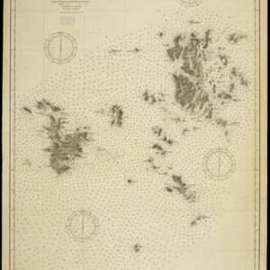
A navigation map of the Anambas Islands in the South China Sea, including shoals and reefs, bathymetry (sea depth), anchor points, current and tide information, and two elevation views of the coasts. Obstructions in the water are marked with letters.

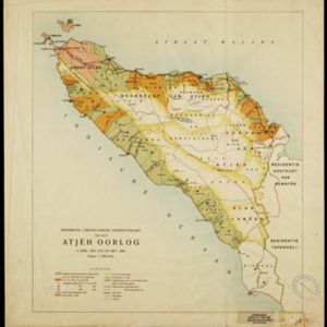
Historische, chronologische overzichtskaart van den Atjeh oorlog

event1898

location_onIndonesia

The Aceh War (1873–1904) between the Sultanate of Aceh and Dutch colonists is highlighted on this map, with areas coloured to show when the Dutch conquered them. Settlements are marked with flags indicating their status; military roads are in red.

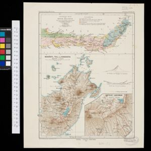
Geologische skizze von Nord-Celebes

event1899

location_onIndonesia

Geological map of the Minahasa Peninsula, Celebes (Sulawesi) showing rock types. Two more topographical maps show the terrain of the northeast tip of the peninsula, with elevation views including of the volcano Mount Klabat.

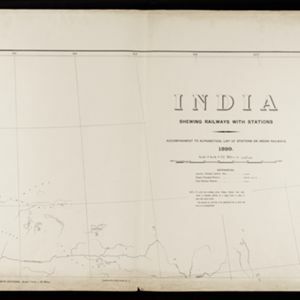
India shewing railways with stations

event1899

location_onMyanmar

This map focuses on India, but also includes Burma (Myanmar), showing the country’s railway lines with their stations, including engine changing stations and junction stations. Part of a series of maps charting the development of the railway system.

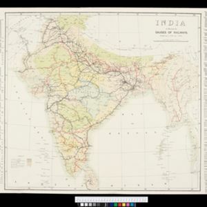
India to illustrate the gauges of railways

event1899

location_onMyanmar

This map of India and Burma (Myanmar) shows railways, and railways sanctioned or under construction. The lines on Myanmar are all metre gauge. There is also a list of the railway lines shown, with their route and length.

close