Search

Search Results

Map to illustrate the Siamese question: showing the present limits of French claims, and the additional territory now demanded

event1893

location_onCambodia, Laos, Malaysia, Myanmar, Thailand, Vietnam

Map highlighting areas of eastern Siam (Thailand) claimed by France. Notes describe Siam’s geography, government, population, military and trade (rice, teak, pepper, bullocks, fish, hides, tin, cardamom, tin), including trading partners by tonnage.

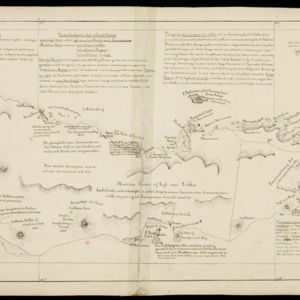
Kaart van het eiland Flores

event1890

location_onIndonesia

Hand-drawn map of Flores in the Lesser Sunda Islands, with extensive written notes describing the island, e.g. the interior is unknown to Europeans; the names of the main Christian villages are underlined.

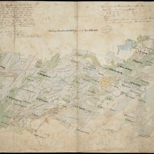
Ontwerp drinkwaterleiding voor de stad Cheribon

event1884

location_onIndonesia

Hand-drawn map of the design of a drinking water pipeline for the city of Cheribon (Cirebon) on the northern coast of Java. Roads, rivers, rice paddies and other fields are shown. The written notes include the city’s population figures by ethnicity.

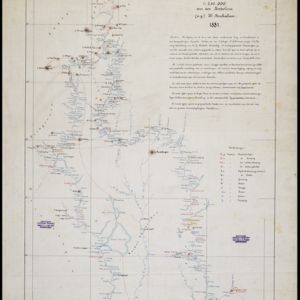
Kaart van de Djelej- en Kotawaringin-rivieren

event1881

location_onIndonesia

Map of an expedition exploring two rivers and their tributaries in southern Borneo. Villages and farms are marked (in red for Malay people; in black for Dayak people). Red numbers show height above sea-level in meters; black numbers show latitude.

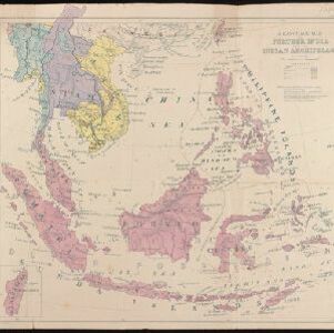
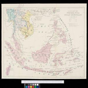
A language map of Further India and the Indian Archipelago

event1878

location_onSoutheast Asia, Brunei, East Timor, Indonesia, Malaysia, Philippines, Singapore, Thailand, Vietnam, Myanmar, Laos, Cambodia

A map of Southeast Asia coloured to indicate the five different language families spoken in the region in the late 19th century. Names of indigenous tribes/languages are marked in red text, with European colonial possessions in grey.

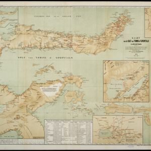
Kaart van de Golf van Tomini of Gorontalo en omliggende landen

event1878

location_onIndonesia

Map of the Minahasa and East peninsulas of Celebes (Sulawesi) focusing on the road system (shown by red lines). There are four inset maps, including one showing indigenous tribal areas, and a list of places with their latitude, longitude and height.

A language map of Further India and the Indian Archipelago

event1878

location_onBrunei, Cambodia, East Timor, Indonesia, Laos, Malaysia, Myanmar, Philippines, Singapore, Southeast Asia, Thailand, Vietnam

A map of Southeast Asia coloured to indicate the five different language families spoken in the region in the late 19th century. Names of indigenous tribes/languages are marked in red text, with European colonial possessions in grey.

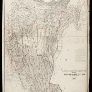
Eastern British frontier bordering on Burmah and Munneepoor

event1871

location_onMyanmar

This map shows the border between the British Empire (modern Bangladesh) and Burmah (Myanmar). Although the Burmah part of the map is mostly blank, there is a reference to ‘Shendoos’ (now known as the Lai people).

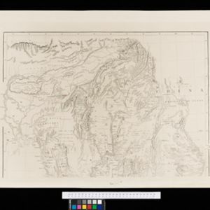
New map of Burma and the regions adjacent

event1857

location_onMyanmar, Thailand

Map of Burma spread over two sheets, labelled with the names of indigenous ‘tribes’ (uppercase red text), mountains, rivers, forests and plantations (teak, bamboo, sappanwood).

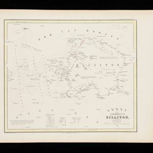
Kaart van de Afdeeling Billiton (of Blitong)

event1856

location_onIndonesia

Map of the Dutch colonial administrative region of the island of Billiton (Belitung). The population is listed by race, and tin production by year. (From ‘Algemeene Atlas van Nederlandsche Indie [General Atlas of the Dutch East Indies]’.)

The continent and islands of Asia: with all the latest discoveries

event1839

location_onBrunei, Cambodia, East Timor, Indonesia, Laos, Malaysia, Myanmar, Papua New Guinea, Singapore, Philippines, Southeast Asia, Thailand, Vietnam

On this map of Asia, the South China Sea is labelled ‘Malayan Sea’. Small islands, shoals and reefs are shown. A label in Cochin China (Vietnam) reads ‘mountains inhabited by the uncivilized people called Kemoys’.

close