Search Results
Filter
Map Attributes
Written Note/Details
Remove constraint Map Attributes: Written Note/Details
Cultivation/Extraction
Agricultural Pond
Remove constraint Cultivation/Extraction: Agricultural Pond
Political Regions
Civic/Metropolitan Border
Remove constraint Political Regions: Civic/Metropolitan Border
2 Results found

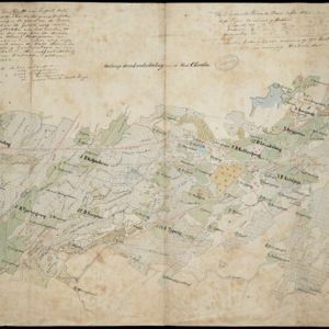
Ontwerp drinkwaterleiding voor de stad Cheribon
1884
Indonesia
Hand-drawn map of the design of a drinking water pipeline for the city of Cheribon (Cirebon) on the northern coast of Java. Roads, rivers, rice paddies and other fields are shown. The written notes include the city’s population figures by ethnicity.
- Filter from 1884 to 1894
- [remove]Civic/Metropolitan Border2
- Scale2
- [remove]Written Note/Details2
- Contour Lines/Elevation1
- Longitude and Latitude1


