Search

Search Results

Map of Asia: Printed for the New York Central's 'Four-Track Series'

event1900

location_onMalaysia, Indonesia, Thailand, Myanmar, Cambodia, Vietnam, Papua New Guinea, Philippines, Singapore, Brunei, Laos, Southeast Asia

Colonial territory is labelled and colour-coded on this map of Southeast Asia. A list on the left edge gives the colonial status, size and population of Asian countries, and ranks the main cities by population. Gold and iron mines are marked.

Atlas van Nederlandsch Oost-Indië

eventc.1897-1904

location_onIndonesia

Very detailed atlas of the entire Dutch East Indies, over 16 map sheets, with a cover and overview map. Includes topographic maps, inset maps of cities and islands, and maps featuring land and sea routes, languages, geology, colonial territory etc.

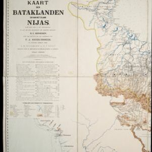
Kaart der Bataklanden en van het eiland Nijas

event1890

location_onIndonesia

A large-scale map of northern Sumatra, spread over 16 sheets, and divided into administrative regions. The island of Nijas (Nias) is marked with the locations of local tribes, and there is a list of other maps referenced in producing the map.

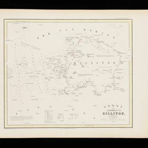
Kaart van de Afdeeling Billiton (of Blitong)

event1856

location_onIndonesia

Map of the Dutch colonial administrative region of the island of Billiton (Belitung). The population is listed by race, and tin production by year. (From ‘Algemeene Atlas van Nederlandsche Indie [General Atlas of the Dutch East Indies]’.)

Borneo

event1851

location_onMalaysia, Southeast Asia, Philippines, East Timor, Vietnam, Brunei, Indonesia

Map of Borneo—with insets of Southeast Asia, Sarawak and Labuan—featuring temperature data, volcanoes, English colonial territory, products of Borneo, geology (rock types), bathymetry (sea depth) and elevations (side views of mountains with heights).

Borneo

event1851

location_onMalaysia, Southeast Asia, Philippines, East Timor, Vietnam, Indonesia, Brunei

Map of Borneo—with insets of Southeast Asia, Sarawak and Labuan—featuring temperature data, volcanoes, English colonial territory, products of Borneo, geology (rock types), bathymetry (sea depth) and elevations (side views of mountains with heights).

Eastern islands or Malay archipelago

event1836

location_onBrunei, Cambodia, East Timor, Indonesia, Laos, Malaysia, Myanmar, Philippines, Singapore, Southeast Asia, Vietnam, Thailand

Brief notes printed on this 19th century map of Southeast Asia provide details about each region, including: numbers and ethnicity of the population, local or colonial rulers, crops and products, geography (corals, forests, volcanos, earthquakes).

A map of Java: chiefly from surveys made during the British administration

event1817

location_onIndonesia

Made for ‘A History of Java’ by Sir Stamford Raffles, this map includes a list of administrative districts with their populations, and four inset maps of harbours. Another inset map shows rocks and minerals, mountains and volcanoes, and teak forests.

Nieuwe en Naukeurige Kaart der Oost-Indische Eilanden

event1774

location_onBrunei, Cambodia, East Timor, Indonesia, Laos, Malaysia, Myanmar, Philippines, Singapore, Southeast Asia, Thailand, Vietnam

Some regions on this map of Southeast have a descriptive label: New Guinea is described as unknown to Europeans; Borneo was abandoned by Europeans due to the ‘unmanageability’ of the inhabitants; the Philippines were discovered by Spain in 1565.

close