Search Results
18 Results found

Map of the Island of Singapore and its dependencies
1898
Singapore
Map of Singapore Island, divided into Districts, including the surrounding islands and straits. The city centre, roads and forests are marked. MacRitchie Reservoir is at the centre of the island, with coconut plantations along the east coast.
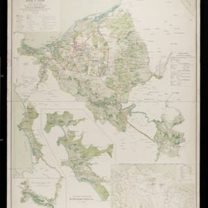
Kaart van het gebied bezet in Groot-Atjeh, met de nederzettingen Lepoeng en Lehoeng
1897
Indonesia
A map of Groot-Atjeh, Lepoeng and Lehoeng, at the northern tip of Sumatra, detailing routes (rivers, roads, railways), crops (rice, banana, sugarcane, betel, pepper, alang-alang, bamboo) and land features (forests, mountains, wetlands).

Map to illustrate the Siamese question: showing the present limits of French claims, and the additional territory now demanded
1893
Cambodia, Laos, Malaysia, Myanmar, Thailand, Vietnam
Map highlighting areas of eastern Siam (Thailand) claimed by France. Notes describe Siam’s geography, government, population, military and trade (rice, teak, pepper, bullocks, fish, hides, tin, cardamom, tin), including trading partners by tonnage.
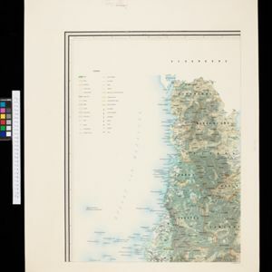
Kaart van zuid Celebes mit uitzondering van het rijk Gowa
1888
Indonesia
Map of the South Peninsula of Celebes (Sulawesi), spread over four sheets. It features crops (alang-alang, coffee, rice, sugarcane), fishing ponds, salt panning, routes, mountains, forests and settlements. The Gowa Regency is left blank.
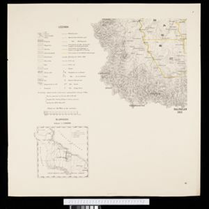
Kaart van de Afdeeling Deli der residentie Oostkust van Sumatra
1887
Indonesia
A map of the department of Deli, Java, divided into administrative districts, and spread over eight sheets. Rivers, railways, roads and paths, forests and mountains, and crops—rice, coconut, pepper, nutmeg, alang-alang—are marked.
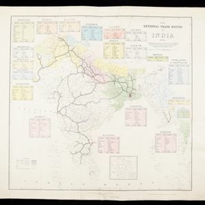
The external trade routes of India: with tables showing the amount and value of the principal exports and imports of the chief Indian sea ports and frontier states
1886
Myanmar, Thailand
This map of the trade routes of India includes Burma (Myanmar) and part of Siam (Thailand). The Rangoon and Irrawaddy Valley State Railway is marked. There are tables showing the values of imports and exports for each area, listed by produce type.

Arracan: chart of the entrance to the river
1858
Myanmar
This navigation map of the mouth of the Kaladan River on the west coast of Arracan (modern Myanmar) features drawings of coastal features (elevations), bathymetry (sea depth), shoals and reefs, landmarks, and notes on how to enter the river safely.

Algemeene Atlas van Nederlandsche Indie
c.1853-1862
Indonesia
Atlas featuring over 60 detailed maps of the Dutch East Indies: 24 maps cover Java; the remainder cover the rest of the Dutch East Indies. There are three index maps. (All the maps in this atlas are also presented separately on this platform.)
- [remove]Plantation/Forestry Area18
- Crops17
- Fishing5
- Mining5
- Domesticated Animals4
- Agricultural Pond1
- [remove]Written Note/Details18
- Longitude and Latitude17
- Scale16
- Contour Lines/Elevation12
- Compass Rose6


