Search

Search Results

Atlas van Nederlandsch Oost-Indië

eventc.1897-1904

location_onIndonesia

Very detailed atlas of the entire Dutch East Indies, over 16 map sheets, with a cover and overview map. Includes topographic maps, inset maps of cities and islands, and maps featuring land and sea routes, languages, geology, colonial territory etc.

Kaart van het noorder schiereiland van Halemahera

event1888

location_onIndonesia

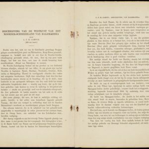
Included in a book chapter describing the northern peninsula of Halmahera, this map focuses on the coasts and nearby islands, with the interior left mostly blank. There are seven elevation views of mountains, and two inset maps.

Midden-Sumatra: Reizen en onderzoekingen der Sumatra-expeditie... 1877-1879

event1882

location_onIndonesia

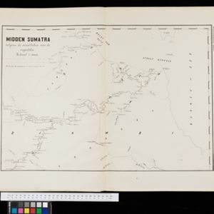
An Atlas produced by an expedition in central Sumatra, including: maps of topography, geology, a number of rivers in the region; drawings of mountains, graphs of lengths of roads; family trees of the royal families of Djambi (Jambi) and Palembang.

Land- en zeekaart der Banda-eilanden

event1871

location_onIndonesia

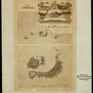
Two maps of the Banda Islands—one of the whole group; the other focusing on the larger islands only—with an elaborate cartouche illustrated with six views of the islands. There is also a drawing of the volcano on Goenong Api (Banda Api).

Algemeene Kaart van Nederlandsch Oostindie

event1842

location_onEast Timor, Indonesia, Malaysia, Singapore

This detailed map of the Dutch East Indies in the mid-19th century is spread over eight sheets, plus a cover sheet showing the whole area. There are numerous inset maps of islands, bays, cities etc.

Algemeene kaart van Nederlandsch Oostindie

eventc.1839-1855

location_onEast Timor, Indonesia, Malaysia, Singapore

This map of the Dutch East Indies is spread over eight sheets, with a hand-drawn cover sheet showing the whole area. There are numerous inset maps of islands, bays, cities etc. Two of the inset maps have a replacement map pasted over them.

Carte nouvelle de la Mer du Sud

event1730

location_onEast Timor, Indonesia, Papua New Guinea, Philippines, Vietnam

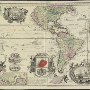
This elaborately illustrated map of the Atlantic and Pacific Oceans includes the eastern islands of Southeast Asia. The routes of five expeditions west across the Pacific are marked, including that of Ferdinand Magellan to the Philippines in 1520.

Insulae Iavae pars Occidentalis

event1728

location_onIndonesia

A map of Java with mountains, jungles, animals and crops. Bathymetry (sea depth) is marked, including on an inset map of Batavia harbour. Illustrations include Batavia Castle, and a lion—representing Belgium—receiving tribute and enslaving locals.

Insulae Iavae pars Occidentalis

eventc.1720

location_onIndonesia

A map of west Java with mountains, jungles, animals and crops. Details include sea depth, an inset map of Batavia harbour, and an illustration of a lion—representing Belgium—receiving tribute and enslaving locals. A similar map of east Java was made.

Insulae Iavae Pars Occidentalis / Insulae Iavae Pars Orientalis

eventc.1720

location_onIndonesia

A map of Java with mountains, jungles, animals and crops. Bathymetry (sea depth) is marked, including on an inset map of Batavia harbour. Illustrations include Batavia Castle, and a lion—representing Belgium—receiving tribute and enslaving locals.

Insulae Iavae pars Occidentalis

eventc.1710-1719

location_onIndonesia

A map of Java with mountains, jungles, animals and crops. Bathymetry (sea depth) is marked, including on an inset map of Batavia harbour. Illustrations include Batavia Castle, and a lion—representing Belgium—receiving tribute and enslaving locals.

close