Search Results
Filter
Map Attributes
Written Note/Details
Remove constraint Map Attributes: Written Note/Details
Insets
Inset Map
Remove constraint Insets: Inset Map
Detailed Location
South China Sea
Remove constraint Detailed Location: South China Sea
16 Results found

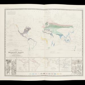
Survey of the geographical distribution and cultivation of the most important plants which are used as food for man: with indications of the isotheres & isochimenes, or lines of equal summer & winter temperature
1849
Brunei, Cambodia, East Timor, Indonesia, Laos, Malaysia, Myanmar, Papua New Guinea, Philippines, Singapore, Southeast Asia, Thailand, Vietnam
- [remove]South China Sea16
- Sumatra15
- Malay Peninsula14
- Borneo12
- Celebes10
- Java10
- Sulawesi10
- Western New Guinea9
- Dutch East Indies7
- Siam7
- China Sea6
- Cochin China6
- more Detailed Location »
- [remove]Inset Map16
- Legend7
- Elevation5
- Illustration4
- Coat of Arms3
- [remove]Written Note/Details16
- Longitude and Latitude15
- Contour Lines/Elevation13
- Scale9
- Compass Rose3


