
Search Results


Burma and adjacent countries: With additions and corrections to boundaries and railways up to December, 1898
1898
Myanmar, Thailand
The regional and national borders of Burma and Siam are hand-coloured on this map. Provinces, districts and states within Burma are also highlighted, and itemised in a separate list.

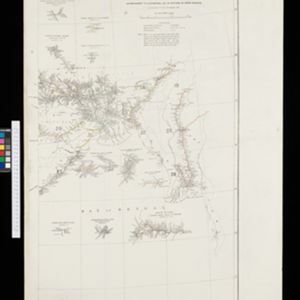
Burma with parts of India, China and Siam
1888
Myanmar, Laos, Thailand
Map of Burma used as advertising by a clothing shop in Rangoon (Yangon, Myanmar). There is a calendar with each day marked with an historic event. The map is labelled with indigenous peoples (uppercase red text) and products of each area.


- [remove]Myanmar52
- Thailand37
- Malaysia25
- Cambodia23
- Laos23
- Vietnam23
- Indonesia21
- Singapore21
- Philippines19
- Brunei18
- East Timor17
- Southeast Asia17
- more Simple Location »
- [remove]Legend52
- Inset Map17
- Illustration7
- [remove]Written Note/Details52
- Longitude and Latitude50
- Scale38
- Contour Lines/Elevation26
- Compass Rose2


