Search

Search Results

Kaart van Atjeh en Onderhoorigheden

event1886

location_onIndonesia

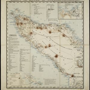
This map of the Atjeh and its surrounding area (modern province of Aceh, Indonesia) is divided into administrative areas. There is an inset map of the capital city Kota Radja (Banda Aceh), and mountains (with their height) and rivers are marked.

Kaart van Zuid Celebes met uitzondering van het Rijk Gowa

event1886

location_onIndonesia

Map of the South Peninsula of Celebes (Sulawesi), spread over four sheets. It features crops (alang-alang, coffee, rice, sugarcane), fishing ponds, salt panning, routes, mountains, forests and settlements. The Gowa Regency is left blank.
Overzichtskaart van Groot-Atjeh

event1884

location_onIndonesia

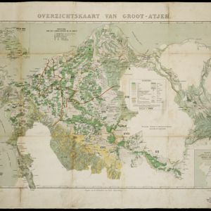
Map of Groot-Atjeh (Aceh, Sumatra) divided into administrative districts. Mountains, forests, villages, railways, roads and rivers are marked. There are inset maps of Poeloe Bras (Breueh Island), and showing distances between larger settlements.

Kaart van de Minahassa

event1878

location_onIndonesia

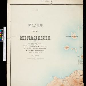
Map of the Minahasa Peninsula, Celebes (Sulawesi) divided into administrative regions, and spread over four sheets. A table lists significant places, with their latitude, longitude and height above sea level.

Topographische kaart der residentie Cheribon

event1877

location_onIndonesia

Six-sheet topographic map of the residency of Cheribon (Cirebon, West Java), with an inset of a geodesic triangle grid. Administrative districts, crops—rice, alang-alang, sugarcane, sugar, coffee, tea—and indigo plant mills are shown.

Topographische kaart der residentie Japara

event1870

location_onIndonesia

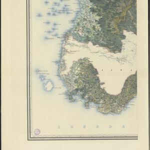
Four-sheet topographic map of the residency of Japara (Jepara, Central Java), with an inset signal map of locations’ heights and distances. Administrative districts, crops—coffee, alang-alang, rice, sugarcane, coconut—and fishing ponds are shown.
Kaart van de residentie Madioen

event1859

location_onIndonesia

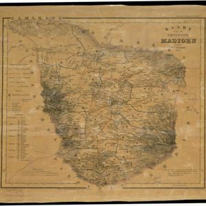
A map of the residency of Madioen (Madiun), East Java, divided into regencies and districts. Mountains, rivers and roads are marked, along with postal routes and post offices, sugar factories, cinnamon sheds (‘kaneelloodsen’) and indigo plant mills.

Kaart van assistent-residentie Patjitan

event1859

location_onIndonesia

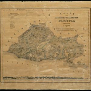
Map of the residency of Patjitan (Pacitan), south coast of East Java, divided into administrative districts. At the base, there is an elevation (side view) drawing of terrain around the Bay of Patjitan. Villages, forts and ruined temples are marked.

Kaart der Residentie Japara

event1858

location_onIndonesia

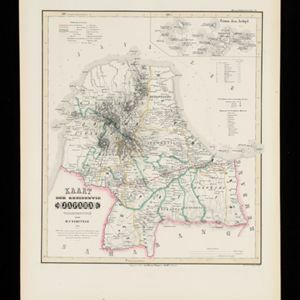
Map of the Dutch colonial administrative region (residency) of Japara (Jepara, Java). A cochineal factory—where the dye carmine is made from insects—is shown. (From ‘Algemeene Atlas van Nederlandsche Indie [General Atlas of the Dutch East Indies]’.)

Kaart van de Residentie Soerabaya

event1858

location_onIndonesia

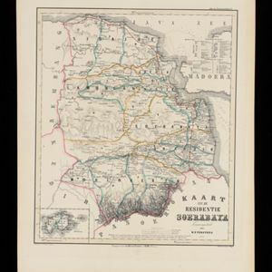
Map of the Dutch colonial administrative region (residency) of Soerabaya (Surabaya, Java), including the Madura Strait and an inset map of the island of Bawean. (From ‘Algemeene Atlas van Nederlandsche Indie [General Atlas of the Dutch East Indies]’.

Algemeene Atlas van Nederlandsche Indie

eventc.1853-1862

location_onIndonesia

Atlas featuring over 60 detailed maps of the Dutch East Indies: 24 maps cover Java; the remainder cover the rest of the Dutch East Indies. There are three index maps. (All the maps in this atlas are also presented separately on this platform.)

Map of Prince of Wales' Island or Pulo Penang and province Wellesley

event1853

location_onMalaysia

Map of the Penang Strait, including written instructions on how to navigate the strait. On land, areas of cultivation are marked, with a table listing acreage used for each crop. A boundary with Siam based on an 1831 treaty is also shown.

close