Search

Search Results

Algemeene kaart van Nederlandsch Oostindie

eventc.1839-1855

location_onEast Timor, Indonesia, Malaysia, Singapore

This map of the Dutch East Indies is spread over eight sheets, with a hand-drawn cover sheet showing the whole area. There are numerous inset maps of islands, bays, cities etc. Two of the inset maps have a replacement map pasted over them.

Algemeene Kaart van Nederlandsch Oostindie

event1842

location_onEast Timor, Indonesia, Malaysia, Singapore

This detailed map of the Dutch East Indies in the mid-19th century is spread over eight sheets, plus a cover sheet showing the whole area. There are numerous inset maps of islands, bays, cities etc.

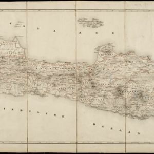
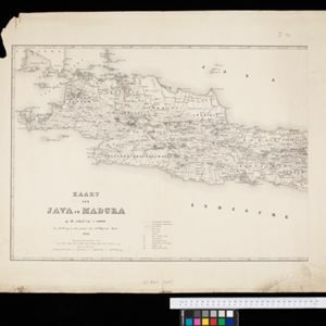
Kaart van Java en Madura

event1850

location_onIndonesia

This map of Java and Madura uses hachures: short lines/dashes that give a sense of the shape and steepness of terrain. Roads, railways and rivers are marked, as are anchor points and coral reefs (marked with letter ‘K.’ before their name).

Kaart van Java en Madura

event1850

location_onIndonesia

This map of Java and Madura uses hachures: short lines/dashes that give a sense of the shape and steepness of terrain. Roads, railways and rivers are marked, as are anchor points and coral reefs (marked with letter ‘K.’ before their name).

Algemeene Atlas van Nederlandsche Indie

eventc.1853-1862

location_onIndonesia

Atlas featuring over 60 detailed maps of the Dutch East Indies: 24 maps cover Java; the remainder cover the rest of the Dutch East Indies. There are three index maps. (All the maps in this atlas are also presented separately on this platform.)

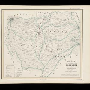
Kaart van het Regentschap Magelang

event1855

location_onIndonesia

Map of the Dutch colonial administrative region (regency) of Magelang, Java, with a list of places—mountains, villages—with their height above sea level. (From ‘Algemeene Atlas van Nederlandsche Indie [General Atlas of the Dutch East Indies]’.)

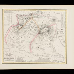
Kaart van de Residentie Bezoeki en de Afdeeling Banjoewangi

event1856

location_onIndonesia

Map of the Dutch colonial administrative regions of Bezoeki (Besuki) and Banjoewangi (Banyuwangi), on Java. Includes an elevation view of the mountains. (From ‘Algemeene Atlas van Nederlandsche Indie [General Atlas of the Dutch East Indies]’.)

Kaart der Residentie Japara

event1858

location_onIndonesia

Map of the Dutch colonial administrative region (residency) of Japara (Jepara, Java). A cochineal factory—where the dye carmine is made from insects—is shown. (From ‘Algemeene Atlas van Nederlandsche Indie [General Atlas of the Dutch East Indies]’.)

Kaart van de Residentie Soerabaya

event1858

location_onIndonesia

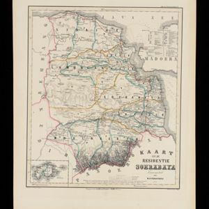
Map of the Dutch colonial administrative region (residency) of Soerabaya (Surabaya, Java), including the Madura Strait and an inset map of the island of Bawean. (From ‘Algemeene Atlas van Nederlandsche Indie [General Atlas of the Dutch East Indies]’.

Kaart van de residentie Madioen

event1859

location_onIndonesia

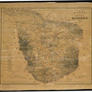
A map of the residency of Madioen (Madiun), East Java, divided into regencies and districts. Mountains, rivers and roads are marked, along with postal routes and post offices, sugar factories, cinnamon sheds (‘kaneelloodsen’) and indigo plant mills.

Het eiland Java benevens Bali

event1861

location_onIndonesia

This map shows Java and Bali divided into Dutch colonial administrative areas (‘residencies’), and features mountains, rivers, settlements, and routes. It was designed to be folded within book covers so it could be easily carried.

Het eiland Java benevens Bali

event1861

location_onIndonesia

This map shows Java and Bali divided into Dutch colonial administrative areas (‘residencies’), and features mountains, rivers, settlements, and routes. It was designed to be folded within book covers so it could be easily carried.

close

  • Filter from 1839 to 1897

Current results range from 1839 to 1897