Search

Search Results

Asiatic archipelago

event1858

location_onVietnam, Myanmar, Papua New Guinea, Philippines, Singapore, Southeast Asia, Thailand, Malaysia, Laos, Indonesia, East Timor, Cambodia, Brunei

This late 19th century map of Southeast Asia shows the best maritime routes around the region, according to the time of year. There are also inset maps highlighting the rivers and southern islands of Singapore, and the sea depth around Labuan Island.

S.E. Peninsula and Malaysia

event1849

location_onBrunei, Cambodia, East Timor, Indonesia, Laos, Malaysia, Myanmar, Papua New Guinea, Philippines, Singapore, Southeast Asia, Thailand, Vietnam

The colonial possessions of Britain, the Netherlands, Spain, Portugal and Denmark are shown on this mid-19th century map of Southeast Asia. There are inset maps of Penang Island and Singapore, and text describing the region’s colonial history.

Asiatic archipelago

event1840

location_onVietnam, Myanmar, Papua New Guinea, Philippines, Singapore, Southeast Asia, Thailand, Malaysia, Laos, Indonesia, East Timor, Brunei, Cambodia

This late 19th century map of Southeast Asia shows the best maritime routes around the region, according to the time of year. There is also an inset map highlighting the rivers and southern islands of Singapore.

Eastern islands or Malay archipelago

event1836

location_onBrunei, Cambodia, East Timor, Indonesia, Laos, Malaysia, Myanmar, Philippines, Singapore, Southeast Asia, Vietnam, Thailand

Brief notes printed on this 19th century map of Southeast Asia provide details about each region, including: numbers and ethnicity of the population, local or colonial rulers, crops and products, geography (corals, forests, volcanos, earthquakes).

Asiatic archipelago

event1832

location_onVietnam, Myanmar, Papua New Guinea, Philippines, Singapore, Southeast Asia, Thailand, Malaysia, Laos, Indonesia, East Timor, Cambodia, Brunei

This late 19th century map of Southeast Asia shows the best maritime routes around the region, according to the time of year. There is also an inset map highlighting the rivers and southern islands of Singapore.

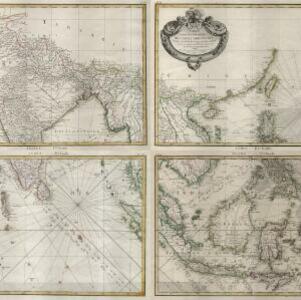
Carte hydro-geo-graphique des Indes orientales, en deca̧ et au dela du Gange avec leur archipel

event1771

location_onBrunei, Cambodia, East Timor, Indonesia, Laos, Malaysia, Myanmar, Philippines, Singapore, Southeast Asia, Thailand, Vietnam

The arrows on this map show the direction of the seasonal monsoons of Southeast Asia during the late 18th century. Each arrow has a label in French, indicating the month. The hatched sea areas are where the winds always blow in the same direction.

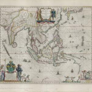
India quae Orientalis dicitur, et insvlae adiacentes

event1664

location_onBrunei, Cambodia, East Timor, Indonesia, Laos, Malaysia, Myanmar, Philippines, Singapore, Southeast Asia, Vietnam, Thailand

A map of Asia decorated with colourful illustrations including two men in ‘eastern’ clothing, the Greek goddess Athena with a coat of arms and a knight in armour, and cherubs playing with cartography tools: a globe, compass, and pair of callipers.

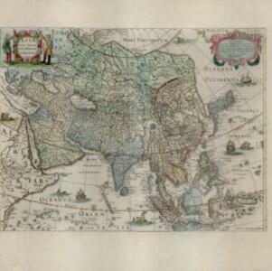
Asia recens summa cura delineata

eventc.1646-1657

location_onBrunei, Cambodia, East Timor, Indonesia, Laos, Malaysia, Myanmar, Philippines, Singapore, Southeast Asia, Thailand, Vietnam

A map of Asia decorated with illustrations of sea monsters, strange creatures and ships. There is Latin text on the back of the map describing Asia.

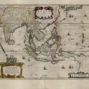
India quae Orientalis dicitur, et insvlae adiacentes

eventc.1645-1658

location_onBrunei, Cambodia, East Timor, Indonesia, Laos, Malaysia, Myanmar, Philippines, Singapore, Southeast Asia, Thailand, Vietnam

German text on the reverse of this map describes the populations, crops, trade etc. of Sumatra, Borneo, Philippines, and Banda Islands. There are drawings of sailing ships, and the map is dedicated to the Dutch merchant Christophoro Thisio.

Asiæ Nova Descriptio Auctore Jodoco Hondio

eventc.1613-1619

location_onBrunei, Cambodia, East Timor, Indonesia, Laos, Malaysia, Myanmar, Philippines, Singapore, Southeast Asia, Thailand, Vietnam

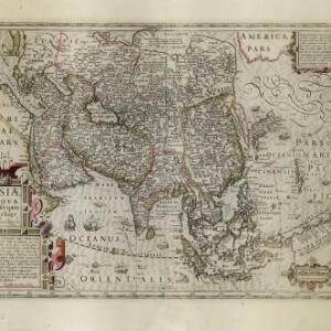
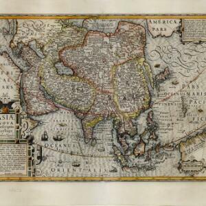
An early 17th century map by the Flemish/Dutch cartographer Jodocus Hondius showing Asia and part of Europe and Africa. The Latin text on New Guinea translates as ‘Whether it is an island or the southern part of the continent is not yet certain’.

Asiæ Nova Descriptio Auctore Jodoco Hondio

eventc.1613-1616

location_onBrunei, Cambodia, East Timor, Indonesia, Laos, Malaysia, Myanmar, Philippines, Singapore, Southeast Asia, Thailand, Vietnam

An early 17th century map by the Flemish/Dutch cartographer Jodocus Hondius showing Asia and part of Europe and Africa. The Latin text on New Guinea translates as ‘Whether it is an island or the southern part of the continent is not yet certain’.

Exacta & accurata delineatio cùm orarum maritimarum tùm etiam locorum terrestrium quae in regionibus China, Cauchinchina, Camboia sive Champa, Syao, Malacca, Aracan & Pegu

event1596

location_onBrunei, Cambodia, East Timor, Indonesia, Laos, Malaysia, Myanmar, Philippines, Singapore, Southeast Asia, Thailand, Vietnam

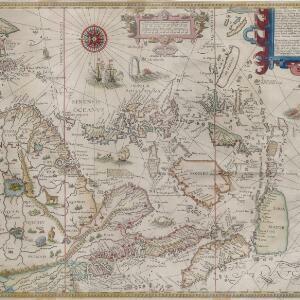
Unusually, north is located to the left of this map of East Asia, rather than the top. The text notes that shallows and reefs are marked, and that the map is based on the explorations of Portuguese ships. Illustrations include sea monsters and ships.

close

  • Filter from 1596 to 1858

Current results range from 1596 to 1858