Search Results
Filter
Map Attributes
Written Note/Details
Remove constraint Map Attributes: Written Note/Details
Land Routes
River
Remove constraint Land Routes: River
Detailed Location
Dutch East Indies
Remove constraint Detailed Location: Dutch East Indies
Place of Publication
Amsterdam
Remove constraint Place of Publication: Amsterdam
4 Results found

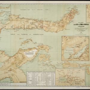
Kaart van de Golf van Tomini of Gorontalo en omliggende landen
1878
Indonesia
Map of the Minahasa and East peninsulas of Celebes (Sulawesi) focusing on the road system (shown by red lines). There are four inset maps, including one showing indigenous tribal areas, and a list of places with their latitude, longitude and height.
- Filter from 1861 to 1898
- Contour Lines/Elevation4
- Longitude and Latitude4
- Scale4
- [remove]Written Note/Details4


