Search

Search Results

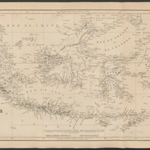
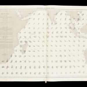
Mer des Indes: cartes de la direction et de l'intensité probables des vents

event1880

location_onBrunei, Cambodia, Indonesia, Malaysia, Myanmar, Philippines, Thailand, Vietnam, Singapore

A series of four maps of the Indian Ocean—one for each quarter of the calendar year—showing the direction and intensity of the winds, including around the seas of Southeast Asia. There are extensive explanatory notes.

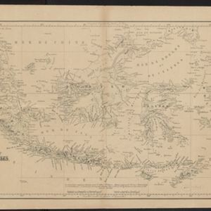
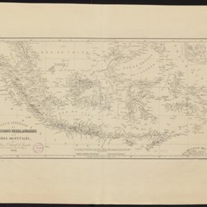
Carte générale des possessions néerlandaises aux Indes orientales

event1846

location_onBrunei, East Timor, Indonesia, Malaysia, Philippines, Singapore

Map of the Asian colonial possessions of the Netherlands (Dutch East Indies), with an inset of the heights of some of the region’s mountains. A note describes the average temperature, barometer reading and magnetic declination in Batavia at the time.

Carte du Grand Archipel d'Asie (Partie Nord-ouest de l'Océanie)

event1826

location_onSoutheast Asia, Malaysia, Indonesia, Vietnam

Colonial possessions of the Dutch, Spanish and Portuguese, as well as lands of ‘indigenous princes’ are marked with coloured borders on this map of maritime Southeast Asia. Hot springs and mineral water springs in Java are also listed.

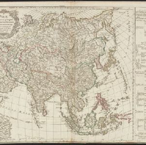
Asie divisée en ses principaux Etats, Empires & Royaumes

event1791

location_onBrunei, Cambodia, East Timor, Indonesia, Laos, Malaysia, Myanmar, Philippines, Singapore, Southeast Asia, Thailand, Vietnam

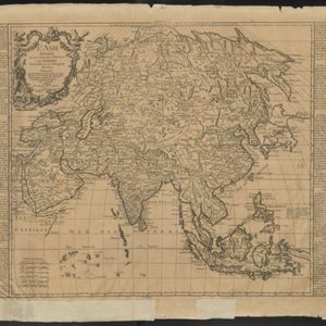
A late 18th century map of Asia, with notes on the principal states, empires and kingdoms of Asia written in French on the right-hand side.

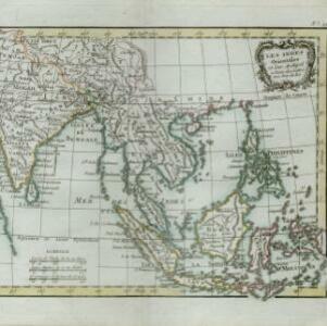
Les Indes orientales et leur archipel

event1785

location_onBrunei, Cambodia, East Timor, Indonesia, Laos, Malaysia, Myanmar, Philippines, Singapore, Southeast Asia, Thailand, Vietnam

A piece of paper printed with a list of the various regions of Asia, including the regions of Southeast Asia, has been adhered to the right-hand side of this late 18th century map of Asia.

Carte d'Asie divisée en ses principaux etats

event1776

location_onMyanmar, Papua New Guinea, Philippines, Singapore, Southeast Asia, Thailand, Vietnam, Malaysia, Laos, Indonesia, East Timor, Cambodia, Brunei

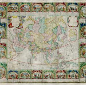
The 20 colourful illustrations around the border of this 18th century map of Asia depict a variety of historical and biblical scenes, including the Crucifixion of Jesus and the sacking of Troy. Each scene has a description in French and Spanish.

L'Asie Divisée en ses Grandes Régions et Empires: Subdivisée en ses Principaux Estats

event1759

location_onBrunei, Cambodia, East Timor, Indonesia, Laos, Malaysia, Myanmar, Philippines, Singapore, Southeast Asia, Thailand, Vietnam

Map of the regions, empires and states of Asia. Extensive notes cover religion (people of mainland Southeast Asia are idolaters), colonialism (Dutch and Portuguese rule in Malacca and the Sunda Islands) and the spice trade of the Maluku Islands.

close