Search

Search Results

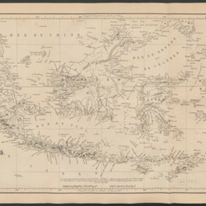
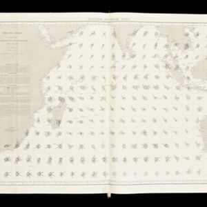
Mer des Indes: cartes de la direction et de l'intensité probables des vents

event1880

location_onBrunei, Cambodia, Indonesia, Malaysia, Myanmar, Philippines, Thailand, Vietnam, Singapore

A series of four maps of the Indian Ocean—one for each quarter of the calendar year—showing the direction and intensity of the winds, including around the seas of Southeast Asia. There are extensive explanatory notes.

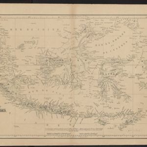
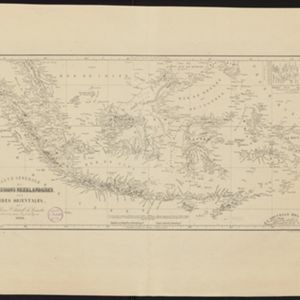
Carte générale des possessions néerlandaises aux Indes orientales

event1846

location_onBrunei, East Timor, Indonesia, Malaysia, Philippines, Singapore

Map of the Asian colonial possessions of the Netherlands (Dutch East Indies), with an inset of the heights of some of the region’s mountains. A note describes the average temperature, barometer reading and magnetic declination in Batavia at the time.

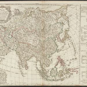
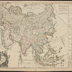
Asie divisée en ses principaux Etats, Empires & Royaumes

event1791

location_onBrunei, Cambodia, East Timor, Indonesia, Laos, Malaysia, Myanmar, Philippines, Singapore, Southeast Asia, Thailand, Vietnam

A late 18th century map of Asia, with notes on the principal states, empires and kingdoms of Asia written in French on the right-hand side.

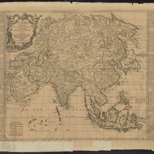
L'Asie Divisée en ses Grandes Régions et Empires: Subdivisée en ses Principaux Estats

event1759

location_onBrunei, Cambodia, East Timor, Indonesia, Laos, Malaysia, Myanmar, Philippines, Singapore, Southeast Asia, Thailand, Vietnam

Map of the regions, empires and states of Asia. Extensive notes cover religion (people of mainland Southeast Asia are idolaters), colonialism (Dutch and Portuguese rule in Malacca and the Sunda Islands) and the spice trade of the Maluku Islands.

L'Asie suivant les dernres. observons. des Moscovites

event1747

location_onBrunei, Cambodia, East Timor, Indonesia, Laos, Malaysia, Myanmar, Philippines, Singapore, Southeast Asia, Thailand, Vietnam

The title of this mid-18th century map translates as ‘Asia following the latest observations of the Muscovites/Russians’. Written notes in French list the regions, islands, empires, kingdoms, colonial possessions, religions and languages of Asia.

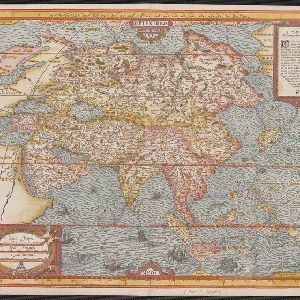
Asie

event1575

location_onBrunei, Cambodia, East Timor, Indonesia, Laos, Malaysia, Myanmar, Philippines, Singapore, Southeast Asia, Thailand, Vietnam

A colourful 16th century map by André Thevet, with illustrations of ships and sea monsters around the seas of Southeast Asia. The map's scale is decorated with cartography tools such as rulers and a compass.

close