Search

Search Results

Carte générale des possessions néerlandaises aux Indes orientales

event1846

location_onBrunei, East Timor, Indonesia, Malaysia, Philippines, Singapore

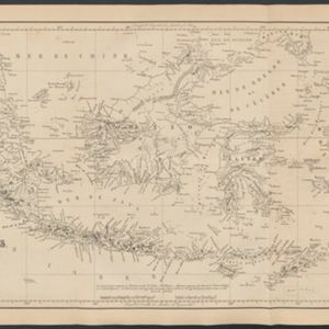
Map of the Asian colonial possessions of the Netherlands (Dutch East Indies), with an inset of the heights of some of the region’s mountains. A note describes the average temperature, barometer reading and magnetic declination in Batavia at the time.

Algemeene Kaart van Nederlandsch Oostindie

event1842

location_onEast Timor, Indonesia, Malaysia, Singapore

This detailed map of the Dutch East Indies in the mid-19th century is spread over eight sheets, plus a cover sheet showing the whole area. There are numerous inset maps of islands, bays, cities etc.

Kaart van de Nederlandsche bezittingen in Oost-Indië

event1840

location_onBrunei, East Timor, Indonesia, Malaysia, Philippines, Singapore

This map shows the Dutch colonial possessions in the East Indies in the mid-19th century. The text provides great detail about the people, religion, crops, animals, geography and administration of the Dutch East Indies.

Algemeene kaart van Nederlandsch Oostindie

eventc.1839-1855

location_onEast Timor, Indonesia, Malaysia, Singapore

This map of the Dutch East Indies is spread over eight sheets, with a hand-drawn cover sheet showing the whole area. There are numerous inset maps of islands, bays, cities etc. Two of the inset maps have a replacement map pasted over them.

Karte von der Insel Sumatra

event1837

location_onSingapore, Indonesia, Malaysia

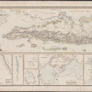
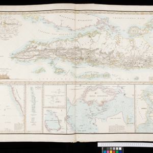
Based on surveys by Sir Stamford Raffles, this German map of Sumatra focuses on the navigation of coasts and straits, with bathymetry (sea depth), anchor points, shoals and reefs marked, including on inset maps of Singapore and the Bangka Strait.

Karte von der Insel Sumatra

event1837

location_onMalaysia, Indonesia, Singapore

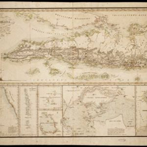
Based on surveys by Sir Stamford Raffles, this German map of Sumatra focuses on the navigation of coasts and straits, with bathymetry (sea depth), anchor points, shoals and reefs marked, including on inset maps of Singapore and the Bangka Strait.

Schetze van de bank met derzelver uitbreiding zedert 1817 voor de Groote rivier te Batavia, benevens de geprojekteerde en gedeeltelijk geexecuteerde zee-hoofden

event1823

location_onIndonesia

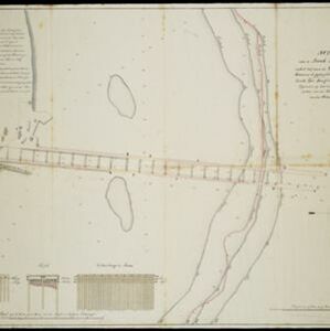
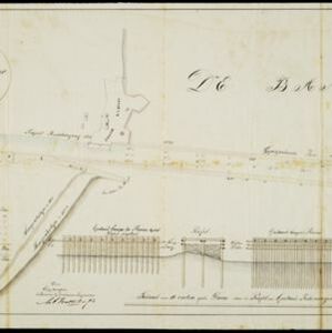
Plan of improvements made to the pier at the port in Batavia (Jakarta): red lines show new parts added in 1822; numbers record the change in water depth (red is 1818; black is 1823). Planned future works and the ‘Waterkasteel’ fort are also shown.

Schets der verrigte werkzaamheden aan de zee hoofden op de bank voor de Groote rivier te Batavia

event1822

location_onIndonesia

Plan of improvements made to the pier at the port in Batavia (Jakarta): red lines show new parts added in 1822; numbers record the change in water depth (red is 1818; black is 1822). Planned future works and the ‘Waterkasteel’ fort are also shown.

Der Hollaendisch-Ostindianischen Compagnie weltberühmte Haupt-Handels und Niederlags: Stadt Batavia

event1747

location_onIndonesia

The legend and written notes on this plan of Batavia (Jakarta) provide much detailed information about the important port city in the early 18th century. It is also beautifully decorated with paintings of the city, local people, animals and ships.

Der Hollaendisch-Ostindianischen Compagnie weltberühmte Haupt-Handels und Niederlags: Stadt Batavia

event1733

location_onIndonesia

The legend and written notes on this plan of Batavia (Jakarta) provide much detailed information about the important port city in the early 18th century. It is also beautifully decorated with paintings of the city, local people, animals and ships.

close