Search

Search Results

S.E. Peninsula and Malaysia

event1849

location_onBrunei, Cambodia, East Timor, Indonesia, Laos, Malaysia, Myanmar, Papua New Guinea, Philippines, Singapore, Southeast Asia, Thailand, Vietnam

The colonial possessions of Britain, the Netherlands, Spain, Portugal and Denmark are shown on this mid-19th century map of Southeast Asia. There are inset maps of Penang Island and Singapore, and text describing the region’s colonial history.

Eastern islands or Malay archipelago

event1836

location_onBrunei, Cambodia, East Timor, Indonesia, Laos, Malaysia, Myanmar, Philippines, Singapore, Southeast Asia, Vietnam, Thailand

Brief notes printed on this 19th century map of Southeast Asia provide details about each region, including: numbers and ethnicity of the population, local or colonial rulers, crops and products, geography (corals, forests, volcanos, earthquakes).

Asiae recentissima delineatio, qua Status et Imperia totius Orientis unacum Orientalibus Indiis exhibentur

event1730

location_onVietnam, Myanmar, Papua New Guinea, Philippines, Singapore, Southeast Asia, Thailand, Malaysia, Laos, Indonesia, East Timor, Cambodia, Brunei

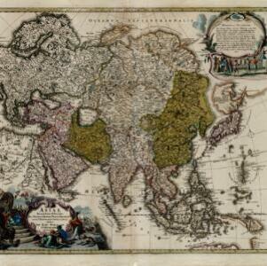
This map's cartouche features an illustration of three men bowing before a ruler on a throne. There is also what was probably meant to be a lion, though the poor likeness suggests it was based on written descriptions rather than real life experience.

Carte des Indes, de la Chine & des Iles de Sumatra, Java &c.

event1719

location_onBrunei, Cambodia, East Timor, Indonesia, Laos, Malaysia, Myanmar, Philippines, Singapore, Southeast Asia, Thailand, Vietnam

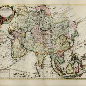
Text on this map notes that Sumatra is divided into two equal parts by the Equator, so that the days and nights are always the same length. It also notes that Java is ruled by the Dutch, though the Mataram Sultanate in central Java is also mentioned.

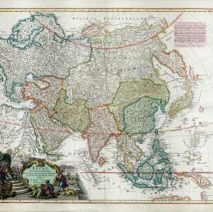
Asiae recentissima delineatio, qua Status et Imperia totius Orientis unacum Orientalibus Indiis exhibentur

event1716

location_onVietnam, Myanmar, Papua New Guinea, Philippines, Singapore, Southeast Asia, Thailand, Malaysia, Laos, Indonesia, East Timor, Cambodia, Brunei

This map's cartouche features an illustration of three men bowing before an enthroned ruler. A second image is of a procession where a horned four-armed humanoid creature is being carried on poles by two bearers, while musicians follow behind.

To the Right Honourable William, Lord Cowper, Lord High Chancellor of Great Britain, this map of Asia

event1715

location_onVietnam, Myanmar, Papua New Guinea, Philippines, Singapore, Southeast Asia, Thailand, Malaysia, Laos, Indonesia, East Timor, Cambodia, Brunei

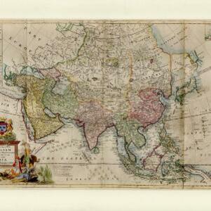
This map is dedicated to William Cowper, whose coat of arms sits atop the cartouche. It features two horses holding a crest with three red martlets (mythical birds used in heraldry). The colourful cartouche also features Asian traders.

L'Asie dresse sur les observations de l'Academie Royale des Sciences, et quelques autres, et sur les memoires les plus recens

event1708

location_onBrunei, Cambodia, East Timor, Indonesia, Laos, Malaysia, Myanmar, Philippines, Singapore, Southeast Asia, Thailand, Vietnam

This early 18th century map of Asia features a note stating that there are new features on this map not seen on previous maps, and that this is not a mistake. The colourful cartouche features a column of Asian people riding on horses and camels.

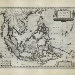
Indiae Orientalis nova descriptio

eventc.1633-1636

location_onBrunei, Cambodia, East Timor, Indonesia, Laos, Malaysia, Myanmar, Philippines, Singapore, Southeast Asia, Thailand, Vietnam

The outline of the island of New Guinea is very vague on this early 17th century map of Southeast Asia. The cartouche is decorated with two figures of Asian warriors: one holds a spear, the other a sword. There are also drawings of mermaids.

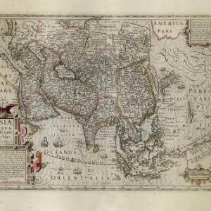
Asiæ Nova Descriptio Auctore Jodoco Hondio

eventc.1613-1619

location_onBrunei, Cambodia, East Timor, Indonesia, Laos, Malaysia, Myanmar, Philippines, Singapore, Southeast Asia, Thailand, Vietnam

An early 17th century map by the Flemish/Dutch cartographer Jodocus Hondius showing Asia and part of Europe and Africa. The Latin text on New Guinea translates as ‘Whether it is an island or the southern part of the continent is not yet certain’.

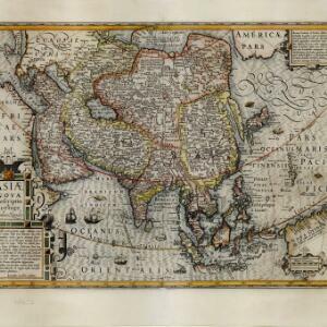
Asiæ Nova Descriptio Auctore Jodoco Hondio

eventc.1613-1616

location_onBrunei, Cambodia, East Timor, Indonesia, Laos, Malaysia, Myanmar, Philippines, Singapore, Southeast Asia, Thailand, Vietnam

An early 17th century map by the Flemish/Dutch cartographer Jodocus Hondius showing Asia and part of Europe and Africa. The Latin text on New Guinea translates as ‘Whether it is an island or the southern part of the continent is not yet certain’.

Indiae Orientalis insularumque adiacientium typus

event1598

location_onBrunei, Cambodia, East Timor, Indonesia, Laos, Malaysia, Myanmar, Philippines, Singapore, Southeast Asia, Thailand, Vietnam

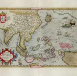
A white banner at the right features text that notes that the ‘Insule Molucce’ (Maluku Islands) are famous for their abundance of spices, which are sold across the world. There are also Illustrations of mermaids and sea monsters wrecking a ship.

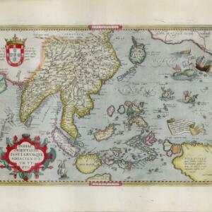
Indiae Orientalis insularumque adiacientium typus

event1579

location_onBrunei, Cambodia, East Timor, Indonesia, Laos, Malaysia, Myanmar, Philippines, Singapore, Southeast Asia, Thailand, Vietnam

A red banner at the right features text that notes that the ‘Insule Molucce’ (Maluku Islands) are famous for their abundance of spices, which are sold across the world. There are also Illustrations of mermaids and sea monsters wrecking a ship.

close

  • Filter from 1579 to 1849

Current results range from 1579 to 1849