Search Results
Filter
Map Attributes
Written Note/Details
Remove constraint Map Attributes: Written Note/Details
Detailed Location
Malay Peninsula
Remove constraint Detailed Location: Malay Peninsula
Sea Routes
Maritime Route
Remove constraint Sea Routes: Maritime Route
29 Results found

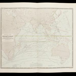
Physical chart of the Indian Ocean: shewing the temperature of the water, the currents of the air and ocean, directions of the wind, districts of hurricanes, regions of the monsoons & ty-foons, trade routes &c&c.
1849
Brunei, Cambodia, East Timor, Indonesia, Laos, Malaysia, Myanmar, Papua New Guinea, Philippines, Singapore, Southeast Asia, Thailand, Vietnam
- [remove]Malay Peninsula29
- Sumatra20
- South China Sea18
- Borneo13
- Java11
- Celebes9
- Siam9
- Sulawesi9
- Western New Guinea8
- Batam7
- Bintan7
- China Sea7
- more Detailed Location »
- [remove]Maritime Route29
- Bathymetry20
- Tide Data3
- Current Data2
- [remove]Written Note/Details29
- Longitude and Latitude23
- Contour Lines/Elevation16
- Scale15
- Compass Rose14
- Rhumbline Network4


