Search

Search Results

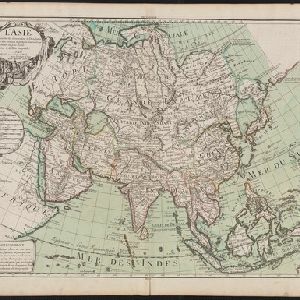
L'Asie dressée sur les observations de l'Academie Royale des Sciences, et quelques autres, et sur les memoires les plus recens

event1700

location_onBrunei, Cambodia, East Timor, Indonesia, Laos, Malaysia, Myanmar, Philippines, Singapore, Southeast Asia, Thailand, Vietnam

This early 18th century map of Asia features a note stating that there are new features on this map not seen on previous maps, and that this is not a mistake. The cartouche features a column of Asian people riding on horses and camels.

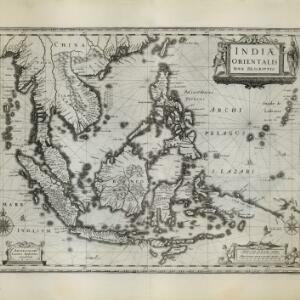
Indiae Orientalis nova descriptio

eventc.1633-1636

location_onBrunei, Cambodia, East Timor, Indonesia, Laos, Malaysia, Myanmar, Philippines, Singapore, Southeast Asia, Thailand, Vietnam

The outline of the island of New Guinea is very vague on this early 17th century map of Southeast Asia. The cartouche is decorated with two figures of Asian warriors: one holds a spear, the other a sword. There are also drawings of mermaids.

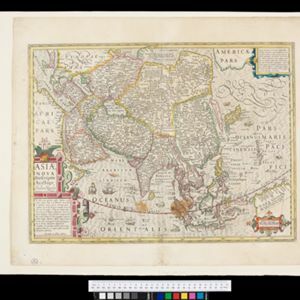
Asiæ Nova Descriptio Auctore Jodoco Hondio

event1630

location_onBrunei, Cambodia, East Timor, Indonesia, Laos, Malaysia, Myanmar, Philippines, Singapore, Southeast Asia, Thailand, Vietnam

An early 17th century map by the Flemish/Dutch cartographer Jodocus Hondius showing Asia and part of Europe and Africa. The Latin text on New Guinea translates as ‘Whether it is an island or the southern part of the continent is not yet certain’.

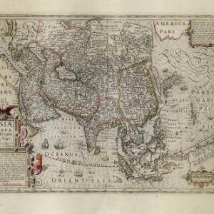
Asiæ Nova Descriptio Auctore Jodoco Hondio

eventc.1613-1619

location_onBrunei, Cambodia, East Timor, Indonesia, Laos, Malaysia, Myanmar, Philippines, Singapore, Southeast Asia, Thailand, Vietnam

An early 17th century map by the Flemish/Dutch cartographer Jodocus Hondius showing Asia and part of Europe and Africa. The Latin text on New Guinea translates as ‘Whether it is an island or the southern part of the continent is not yet certain’.

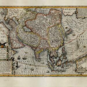
Asiæ Nova Descriptio Auctore Jodoco Hondio

eventc.1613-1616

location_onBrunei, Cambodia, East Timor, Indonesia, Laos, Malaysia, Myanmar, Philippines, Singapore, Southeast Asia, Thailand, Vietnam

An early 17th century map by the Flemish/Dutch cartographer Jodocus Hondius showing Asia and part of Europe and Africa. The Latin text on New Guinea translates as ‘Whether it is an island or the southern part of the continent is not yet certain’.

Asia wie es jetziger zeit nach den fuernemesten Herrschafften abgetheilet und beschriben ist

event1600

location_onBrunei, Cambodia, East Timor, Indonesia, Laos, Malaysia, Myanmar, Philippines, Singapore, Southeast Asia, Thailand, Vietnam

Early map of Asia featuring a number of mythical lakes that were once thought to exist in southern China, and which feed several rivers that flow south through mainland Southeast Asia. Text describes the world divided into four or five regions.

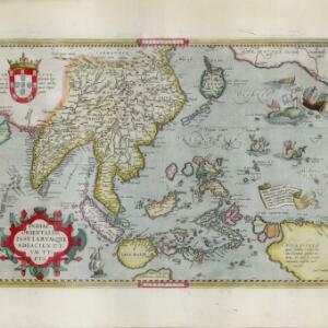
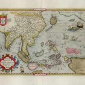
Indiae Orientalis insularumque adiacientium typus

event1598

location_onBrunei, Cambodia, East Timor, Indonesia, Laos, Malaysia, Myanmar, Philippines, Singapore, Southeast Asia, Thailand, Vietnam

A white banner at the right features text that notes that the ‘Insule Molucce’ (Maluku Islands) are famous for their abundance of spices, which are sold across the world. There are also Illustrations of mermaids and sea monsters wrecking a ship.

Indiae Orientalis insularumque adiacientium typus

event1579

location_onBrunei, Cambodia, East Timor, Indonesia, Laos, Malaysia, Myanmar, Philippines, Singapore, Southeast Asia, Thailand, Vietnam

A red banner at the right features text that notes that the ‘Insule Molucce’ (Maluku Islands) are famous for their abundance of spices, which are sold across the world. There are also Illustrations of mermaids and sea monsters wrecking a ship.

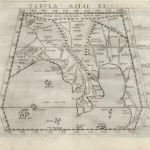
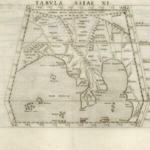
Tabvla Asiae XI

event1574

location_onCambodia, Indonesia, Malaysia, Laos, Myanmar, Singapore, Thailand, Vietnam, Southeast Asia

Mid-16th century map by Girolamo Ruscelli, based on the work of 2nd century geographer Ptolemy. It is difficult to pinpoint exact locations, but the Malay Peninsula is recognisable. Italian text on the reverse describes the region.

Tabvla Asiae XI

event1561

location_onCambodia, Indonesia, Malaysia, Laos, Myanmar, Singapore, Thailand, Vietnam, Southeast Asia

Mid-16th century map by Girolamo Ruscelli, based on the work of 2nd century geographer Ptolemy. It is difficult to pinpoint exact locations, but the Malay Peninsula is recognisable. Italian text on the reverse describes the region.

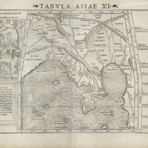
Tabvla Asiae XI

eventc.1542-1552

location_onCambodia, Indonesia, Malaysia, Myanmar, Singapore, Thailand, Vietnam, Southeast Asia

Early map by Sebastian Münster, based on the work of 2nd century geographer Ptolemy. The Malay Peninsula—labelled ‘Aurea Chersonesus [Golden Chersonese]’—is recognisable. An illustration shows the local animals: a tiger, cockerels and a white parrot.

close