Search

Search Results

Map of the Kingdom of Siam and its dependencies

eventc.1900

location_onMyanmar, Malaysia, Singapore, Thailand, Laos, Cambodia, Vietnam

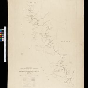
Sketch map shewing progress of railway construction in the Federated Malay States

event1898

location_onMalaysia

Map to illustrate the Siamese question: showing the present limits of French claims, and the additional territory now demanded

event1893

location_onCambodia, Laos, Malaysia, Myanmar, Thailand, Vietnam

New Sketch Map of the Protected Malay State of Perak

event1892

location_onMalaysia

New sketch map of the protected Malay State of Perak

event1892

location_onMalaysia

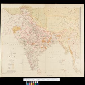
A map of the prevailing languages and dialects of India and its borders

event1885

location_onMyanmar, Thailand, Malaysia

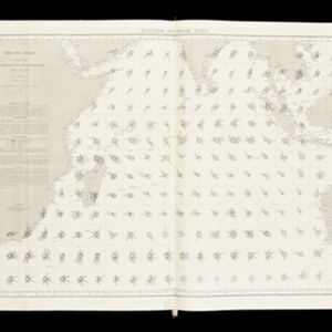
Mer des Indes: cartes de la direction et de l'intensité probables des vents

event1880

location_onBrunei, Cambodia, Indonesia, Malaysia, Myanmar, Philippines, Thailand, Vietnam, Singapore

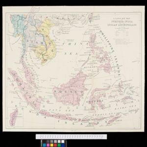
A language map of Further India and the Indian Archipelago

event1878

location_onBrunei, Cambodia, East Timor, Indonesia, Laos, Malaysia, Myanmar, Philippines, Singapore, Southeast Asia, Thailand, Vietnam

Asiatic archipelago

event1876

location_onVietnam, Myanmar, Papua New Guinea, Philippines, Singapore, Southeast Asia, Thailand, Malaysia, Laos, Indonesia, East Timor, Cambodia, Brunei

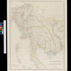
Burmah, Siam and Cochin China

event1875

location_onCambodia, Laos, Malaysia, Myanmar, Thailand, Vietnam

Extension of the Electric Telegraph to Canton, Hong Kong, etc. from the Port of Rangoon

event1860

location_onMyanmar, Cambodia, Indonesia, Laos, Malaysia, Singapore, Thailand, Vietnam

Map of Prince of Wales' Island or Pulo Penang and province Wellesley

event1853

location_onMalaysia

close

  • Filter from 1630 to 1900

Current results range from 1630 to 1900