Search Results

Atlas van Nederlandsch Oost-Indië
c.1897-1904
Indonesia
Very detailed atlas of the entire Dutch East Indies, over 16 map sheets, with a cover and overview map. Includes topographic maps, inset maps of cities and islands, and maps featuring land and sea routes, languages, geology, colonial territory etc.

Kaart van den Nederlandsch-Indischen Archipel
1890
Indonesia, East Timor, Brunei, Cambodia, Malaysia, Philippines, Singapore, Southeast Asia, Thailand, Vietnam
The seas of the Dutch East Indies are the focus of this map, with maritime routes, sea temperature, sea depth, currents and monsoons shown. There are graphs of population by ethnicity, agriculture and livestock, trade and shipping, and trade exports.

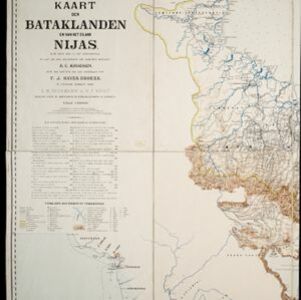
Kaart der Bataklanden en van het eiland Nijas
1890
Indonesia
A large-scale map of northern Sumatra, spread over 16 sheets, and divided into administrative regions. The island of Nijas (Nias) is marked with the locations of local tribes, and there is a list of other maps referenced in producing the map.

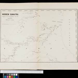
Midden-Sumatra: Reizen en onderzoekingen der Sumatra-expeditie... 1877-1879
1882
Indonesia
An Atlas produced by an expedition in central Sumatra, including: maps of topography, geology, a number of rivers in the region; drawings of mountains, graphs of lengths of roads; family trees of the royal families of Djambi (Jambi) and Palembang.

Schetskaart van de Reede van Analaboe en aangrenzende landstreek
1877
Indonesia
Hand-drawn map of the roadstead—a body of water sheltered from tides/currents, for ships to anchor—at Analaboe (Meulaboh) on the west coast of northern Sumatra. Bathymetry (sea depth), shoals and reefs, and an anchor point are marked.

Asiatic archipelago
1876
Vietnam, Myanmar, Papua New Guinea, Philippines, Singapore, Southeast Asia, Thailand, Malaysia, Laos, Indonesia, East Timor, Cambodia, Brunei
This late 19th century map of Southeast Asia shows the best maritime routes around the region, according to the time of year. There are also inset maps highlighting the rivers and southern islands of Singapore, and the sea depth around Labuan Island.

Western part of the Java Sea : from Lucipara I. to Sunda Strait and Batavia
1866
Indonesia
Designed to aid navigation around the western Java Sea, this map features bathymetry (sea depth), current and tide data, and is marked with shoals, reefs and other hazards. Written notes add details at specific locations (e.g. ‘heavy tide rips’).

Asiatic archipelago
1858
Vietnam, Myanmar, Papua New Guinea, Philippines, Singapore, Southeast Asia, Thailand, Malaysia, Laos, Indonesia, East Timor, Cambodia, Brunei
This late 19th century map of Southeast Asia shows the best maritime routes around the region, according to the time of year. There are also inset maps highlighting the rivers and southern islands of Singapore, and the sea depth around Labuan Island.

Algemeene Atlas van Nederlandsche Indie
c.1853-1862
Indonesia
Atlas featuring over 60 detailed maps of the Dutch East Indies: 24 maps cover Java; the remainder cover the rest of the Dutch East Indies. There are three index maps. (All the maps in this atlas are also presented separately on this platform.)
- [remove]Written Note/Details27
- Longitude and Latitude25
- Scale18
- Contour Lines/Elevation14
- Compass Rose12
- Rhumbline Network8


