Search

Search Results

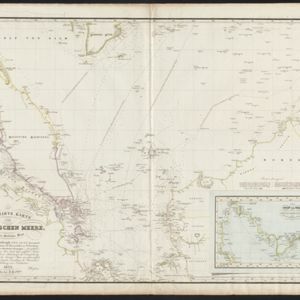
Reduzirte Karte vom Chinesischen Meere: 1stes oder Südliches Blatt

event1835

location_onBrunei, Cambodia, Indonesia, Malaysia, Singapore, Thailand

Navigation map of the southern South China Sea, with bathymetry (sea depth), islands, shoals and reefs marked. There are four maritime routes to China marked, with notes on what months or monsoon season to use them. Inset map of Gulf of Thailand.
Map of the countries between Bengal and China

event1834

location_onIndonesia, Malaysia, Thailand, Vietnam, Cambodia, Laos, Myanmar, Singapore

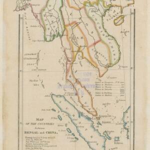
The location, size, and population (by ethnicity) of Pinang, Malacca and Singapore—the Straits Settlements—are listed, along with how/when they were acquired by Britain. The distances from Canton (China) to those cities, and to India, are also noted.

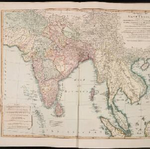
A New general map of the East Indies, exhibiting in the Peninsula on this side of the Ganges or Hindoostan, the several partitions of the Mogul's Empire

event1823

location_onMalaysia, Brunei, Indonesia, Cambodia, Thailand, Vietnam, Myanmar, Laos, Southeast Asia

This 19th century map highlights British colonial possessions in India (in red), and the various kingdoms of northern Southeast Asia, including the Birman Empire (Myanmar), Cochin China and Tonkin (Vietnam), Lao (Laos), Siam (Thailand), and Cambodia.

The continent and islands of Asia: with all the latest discoveries

event1809

location_onVietnam, Myanmar, Papua New Guinea, Philippines, Singapore, Southeast Asia, Thailand, Malaysia, Laos, Indonesia, East Timor, Cambodia, Brunei

Southeast Asia is on the last sheet of this map of Asia. The South China Sea is labelled ‘Malayan Sea’. Small islands, shoals and reefs are shown. A label in Cochin China (Vietnam) reads ‘mountains inhabited by the uncivilized people called Kemoys’.

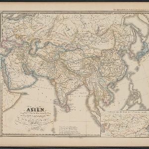
Asien vom VIten bis in die erste Hälfte des IXten Jahrhundert's

eventc.1800-1899

location_onCambodia, Indonesia, Laos, Malaysia, Myanmar, Philippines, Thailand, Vietnam

This map of Asia, from an atlas by the German cartographer Karl von Spruner, is colour-coded to show territorial regions in Asia from the 6th to the 9th centuries. Thailand is labelled 'Siang-koue' and Vietnam is 'Tschn-tschin'.

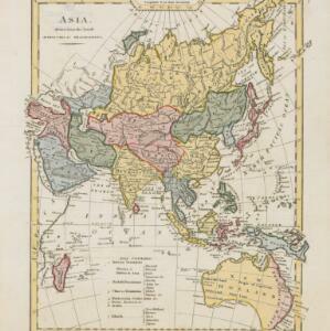
Asia: drawn from the latest astronomical observations

event1798

location_onBrunei, Cambodia, East Timor, Indonesia, Laos, Malaysia, Myanmar, Papua New Guinea, Philippines, Singapore, Southeast Asia, Thailand, Vietnam

This late 18th century map of Asia uses colour to differentiate various regions, with mainland Southeast Asia in blue, and maritime Southeast Asia in yellow, red, green and blue.

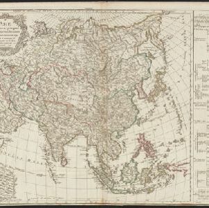
Asie divisée en ses principaux Etats, Empires & Royaumes

event1791

location_onBrunei, Cambodia, East Timor, Indonesia, Laos, Malaysia, Myanmar, Philippines, Singapore, Southeast Asia, Thailand, Vietnam

A late 18th century map of Asia, with notes on the principal states, empires and kingdoms of Asia written in French on the right-hand side.

Asia and its islands according to d'Anville

event1787

location_onBrunei, Cambodia, East Timor, Indonesia, Laos, Malaysia, Myanmar, Philippines, Singapore, Southeast Asia, Thailand, Vietnam

This map features labels describing local populations, including the Kemoys ('Savage People') of the mountains of Cokin China (Vietnam), the Biayos of Borneo, and the 'Wild People' of the mountains of Pegu (Myanmar). Top half of the map is missing.

Asia and its islands according to d'Anville

event1787

location_onBrunei, Cambodia, East Timor, Indonesia, Laos, Malaysia, Myanmar, Papua New Guinea, Philippines, Singapore, Southeast Asia, Thailand, Vietnam

A large and detailed late 18th century map of Asia, printed over four sheets. There are labels noting the inhabitants of some areas, such as 'BIAYOS or the inland People' in the centre of Borneo.

Les Indes orientales et leur archipel

event1785

location_onBrunei, Cambodia, East Timor, Indonesia, Laos, Malaysia, Myanmar, Philippines, Singapore, Southeast Asia, Thailand, Vietnam

A piece of paper printed with a list of the various regions of Asia, including the regions of Southeast Asia, has been adhered to the right-hand side of this late 18th century map of Asia.

Nieuwe en Naukeurige Kaart der Oost-Indische Eilanden

event1774

location_onBrunei, Cambodia, East Timor, Indonesia, Laos, Malaysia, Myanmar, Philippines, Singapore, Southeast Asia, Thailand, Vietnam

Some regions on this map of Southeast have a descriptive label: New Guinea is described as unknown to Europeans; Borneo was abandoned by Europeans due to the ‘unmanageability’ of the inhabitants; the Philippines were discovered by Spain in 1565.

close