Search Results

Algemeene kaart van Nederlandsch Indië
1879
Cambodia, Indonesia, Papua New Guinea, East Timor, Southeast Asia, Thailand, Malaysia, Philippines, Laos, Vietnam, Singapore, Brunei, Myanmar
A late 19th century map of the Dutch East Indies on four sheets, detailing maritime routes around the region. There are also inset maps showing railways, rivers, roads, and telegraph systems, as well as individual islands and cities.

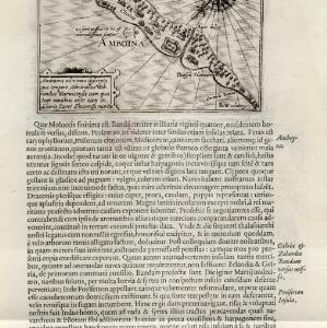
Amboina ad viumu descripta quo tempore Admiarallus Wibrandus Warwicensis cum quatuor nauibus ante eam in achoris staret a 1599 mese martio
1614
Indonesia
The Latin title of this map refers to an Admiral Wibrand of Warwick, who visited the island of Amboina (Ambon Island in the Maluku Islands) in March 1599.

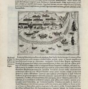
[View of the island of Ternate with the town Gamme Lamme]
1614
Indonesia
Two drawings and text from ‘Rerum et urbis Amstelodamensium historia’ by Johannes Pontanus: the port and town of Gamme Lamme on the island of Ternate, with local and European vessels; and a naval battle between Dutch and Portuguese ships.
- Filter from 1602 to 1894
- [remove]Written Note/Details5
- Compass Rose3
- Longitude and Latitude3
- Scale3
- Contour Lines/Elevation2


