Search

Search Results

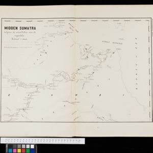
Midden-Sumatra: Reizen en onderzoekingen der Sumatra-expeditie... 1877-1879

event1882

location_onIndonesia

An Atlas produced by an expedition in central Sumatra, including: maps of topography, geology, a number of rivers in the region; drawings of mountains, graphs of lengths of roads; family trees of the royal families of Djambi (Jambi) and Palembang.

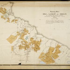
Figuratieve kaart van Deli, Langkat en Serdang met aanteekening der uitgegeven kontrakten

event1876

location_onIndonesia

Map of three regions on the northeast coast of Sumatra, with each region divided into parcels of land which are labelled with the name of a company. Presumably, these companies have been issued the contracts mentioned in the map’s title.

close

  • Filter from 1876 to 1882

Current results range from 1876 to 1882