Search

Search Results

Algemeene kaart van Nederlandsch Oostindie

eventc.1839-1855

location_onEast Timor, Indonesia, Malaysia, Singapore

This map of the Dutch East Indies is spread over eight sheets, with a hand-drawn cover sheet showing the whole area. There are numerous inset maps of islands, bays, cities etc. Two of the inset maps have a replacement map pasted over them.

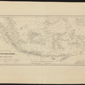
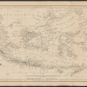
Carte générale des possessions néerlandaises aux Indes orientales

event1846

location_onBrunei, East Timor, Indonesia, Malaysia, Philippines, Singapore

Map of the Asian colonial possessions of the Netherlands (Dutch East Indies), with an inset of the heights of some of the region’s mountains. A note describes the average temperature, barometer reading and magnetic declination in Batavia at the time.

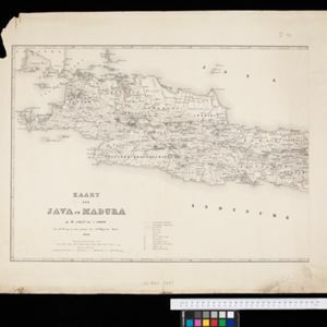
Kaart van Java en Madura

event1850

location_onIndonesia

This map of Java and Madura uses hachures: short lines/dashes that give a sense of the shape and steepness of terrain. Roads, railways and rivers are marked, as are anchor points and coral reefs (marked with letter ‘K.’ before their name).

Kaart van Java en Madura

event1850

location_onIndonesia

This map of Java and Madura uses hachures: short lines/dashes that give a sense of the shape and steepness of terrain. Roads, railways and rivers are marked, as are anchor points and coral reefs (marked with letter ‘K.’ before their name).

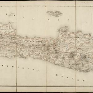
Kaart van het eiland Java

event1855

location_onIndonesia

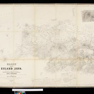
Detailed map of Java based on the expeditions of the geologist and botanist Dr. Franz Junghuhn. There are 16 inset maps featuring volcanoes, mountains and coal seams.

Kaart van het eiland Java

event1855

location_onIndonesia

Detailed map of Java based on the expeditions of the geologist and botanist Dr. Franz Junghuhn. There are 16 inset maps featuring volcanoes, mountains and coal seams.

Nederlandsch Oost-Indië

event1865

location_onBrunei, Cambodia, East Timor, Indonesia, Laos, Malaysia, Myanmar, Vietnam, Thailand, Southeast Asia, Singapore, Philippines, Papua New Guinea

This detailed map of the Dutch East Indies in the mid-19th century contains a great deal of information: topographical details, settlements and administrative areas, roads, railways and maritime routes, telegraph lines, inset maps etc.

Topographische kaart der residentie Japara

event1870

location_onIndonesia

Four-sheet topographic map of the residency of Japara (Jepara, Central Java), with an inset signal map of locations’ heights and distances. Administrative districts, crops—coffee, alang-alang, rice, sugarcane, coconut—and fishing ponds are shown.

Land- en zeekaart der Banda-eilanden

event1871

location_onIndonesia

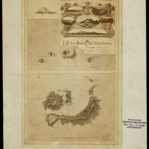
Two maps of the Banda Islands—one of the whole group; the other focusing on the larger islands only—with an elaborate cartouche illustrated with six views of the islands. There is also a drawing of the volcano on Goenong Api (Banda Api).

Topographische kaart der residentie Cheribon

event1877

location_onIndonesia

Six-sheet topographic map of the residency of Cheribon (Cirebon, West Java), with an inset of a geodesic triangle grid. Administrative districts, crops—rice, alang-alang, sugarcane, sugar, coffee, tea—and indigo plant mills are shown.

close

  • Filter from 1839 to 1898

Current results range from 1839 to 1898