Search

Search Results

Noordkust Java: Westervaarwater van Soerabaja

event1898

location_onIndonesia

This map of the Madura Strait between Java and Madura is designed to aid navigation: bathymetry (water depth), lighthouses, shoals and reefs, rocks and mud, anchor points, and landmark mountains are all marked. Text describes the tidal conditions.

Atlas van Nederlandsch Oost-Indië

eventc.1897-1904

location_onIndonesia

Very detailed atlas of the entire Dutch East Indies, over 16 map sheets, with a cover and overview map. Includes topographic maps, inset maps of cities and islands, and maps featuring land and sea routes, languages, geology, colonial territory etc.

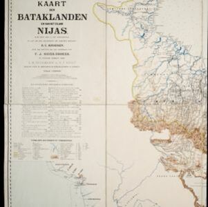
Kaart der Bataklanden en van het eiland Nijas

event1890

location_onIndonesia

A large-scale map of northern Sumatra, spread over 16 sheets, and divided into administrative regions. The island of Nijas (Nias) is marked with the locations of local tribes, and there is a list of other maps referenced in producing the map.

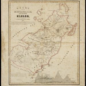
Kaart van de Minahassa in de residentie Manado

event1869

location_onIndonesia

On this map of the northern tip of the Minahasa Peninsula, the roads have been added in pencil after the map was printed. Similarly, the elevation (side view) of the peninsula’s mountains has the route of a journey added in pencil.

Nederlandsch Oost-Indië

event1865

location_onBrunei, Cambodia, East Timor, Indonesia, Laos, Malaysia, Myanmar, Vietnam, Thailand, Southeast Asia, Singapore, Philippines, Papua New Guinea

This detailed map of the Dutch East Indies in the mid-19th century contains a great deal of information: topographical details, settlements and administrative areas, roads, railways and maritime routes, telegraph lines, inset maps etc.

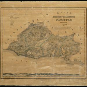
Kaart van assistent-residentie Patjitan

event1859

location_onIndonesia

Map of the residency of Patjitan (Pacitan), south coast of East Java, divided into administrative districts. At the base, there is an elevation (side view) drawing of terrain around the Bay of Patjitan. Villages, forts and ruined temples are marked.

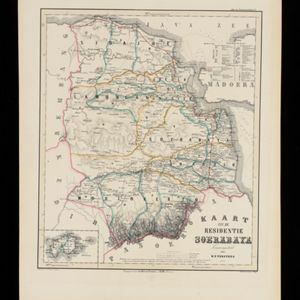
Kaart van de Residentie Soerabaya

event1858

location_onIndonesia

Map of the Dutch colonial administrative region (residency) of Soerabaya (Surabaya, Java), including the Madura Strait and an inset map of the island of Bawean. (From ‘Algemeene Atlas van Nederlandsche Indie [General Atlas of the Dutch East Indies]’.

Kaart van de Residentie Bezoeki en de Afdeeling Banjoewangi

event1856

location_onIndonesia

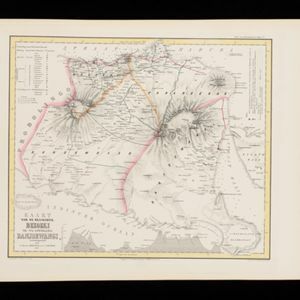
Map of the Dutch colonial administrative regions of Bezoeki (Besuki) and Banjoewangi (Banyuwangi), on Java. Includes an elevation view of the mountains. (From ‘Algemeene Atlas van Nederlandsche Indie [General Atlas of the Dutch East Indies]’.)

Kaart van de Afdeeling Billiton (of Blitong)

event1856

location_onIndonesia

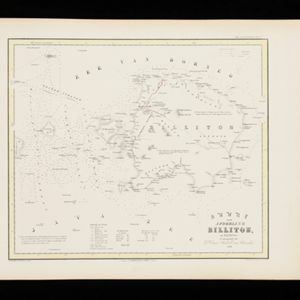
Map of the Dutch colonial administrative region of the island of Billiton (Belitung). The population is listed by race, and tin production by year. (From ‘Algemeene Atlas van Nederlandsche Indie [General Atlas of the Dutch East Indies]’.)

Kaart der Nederlandsche Bezittingen of het Eiland Nieuw-Guinea

event1853

location_onIndonesia

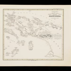
Map of Dutch colonial territory in New Guinea and nearby islands, featuring the 1850 route of the Dutch schooner Circe under Lieutenant Brutel de la Rivière. (From ‘Algemeene Atlas van Nederlandsche Indie [General Atlas of the Dutch East Indies]’.)

Map of Prince of Wales' Island or Pulo Penang and province Wellesley

event1853

location_onMalaysia

Map of the Penang Strait, including written instructions on how to navigate the strait. On land, areas of cultivation are marked, with a table listing acreage used for each crop. A boundary with Siam based on an 1831 treaty is also shown.

close