Search

Search Results

Atlas van Nederlandsch Oost-Indië

eventc.1897-1904

location_onIndonesia

Very detailed atlas of the entire Dutch East Indies, over 16 map sheets, with a cover and overview map. Includes topographic maps, inset maps of cities and islands, and maps featuring land and sea routes, languages, geology, colonial territory etc.

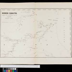
Midden-Sumatra: Reizen en onderzoekingen der Sumatra-expeditie... 1877-1879

event1882

location_onIndonesia

An Atlas produced by an expedition in central Sumatra, including: maps of topography, geology, a number of rivers in the region; drawings of mountains, graphs of lengths of roads; family trees of the royal families of Djambi (Jambi) and Palembang.

Algemeene Kaart van Nederlandsch Oostindie

event1842

location_onEast Timor, Indonesia, Malaysia, Singapore

This detailed map of the Dutch East Indies in the mid-19th century is spread over eight sheets, plus a cover sheet showing the whole area. There are numerous inset maps of islands, bays, cities etc.

Algemeene kaart van Nederlandsch Oostindie

eventc.1839-1855

location_onEast Timor, Indonesia, Malaysia, Singapore

This map of the Dutch East Indies is spread over eight sheets, with a hand-drawn cover sheet showing the whole area. There are numerous inset maps of islands, bays, cities etc. Two of the inset maps have a replacement map pasted over them.

Map of the River of Don-nai from Cape St. James to the city of Saigon

event1820

location_onVietnam

A map to aid in the navigation of the rivers leading to Saigon (Ho Chi Minh City, Vietnam). Details include bathymetry (water depth), currents, and a side view (or ‘elevation’) of hills to use as a landmark. Tides are described in written remarks.

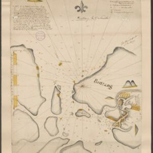
Bintang

eventc.1775-1799

location_onIndonesia, Malaysia

Hand-drawn map of islands in the Riau Archipelago, with bathymetry (sea depth) marked. It features side views of hills (‘elevations’) to use as landmarks, including ‘Jehore hill’, probably in Johor at the southern tip of the Malay Peninsula.

close