Search

Search Results

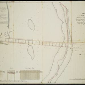
Schetze van de bank met derzelver uitbreiding zedert 1817 voor de Groote rivier te Batavia, benevens de geprojekteerde en gedeeltelijk geexecuteerde zee-hoofden

event1823

location_onIndonesia

Plan of improvements made to the pier at the port in Batavia (Jakarta): red lines show new parts added in 1822; numbers record the change in water depth (red is 1818; black is 1823). Planned future works and the ‘Waterkasteel’ fort are also shown.

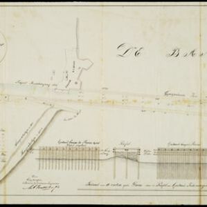
Schets der verrigte werkzaamheden aan de zee hoofden op de bank voor de Groote rivier te Batavia

event1822

location_onIndonesia

Plan of improvements made to the pier at the port in Batavia (Jakarta): red lines show new parts added in 1822; numbers record the change in water depth (red is 1818; black is 1822). Planned future works and the ‘Waterkasteel’ fort are also shown.

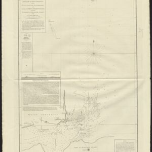
Map of the River of Don-nai from Cape St. James to the city of Saigon

event1820

location_onVietnam

A map to aid in the navigation of the rivers leading to Saigon (Ho Chi Minh City, Vietnam). Details include bathymetry (water depth), currents, and a side view (or ‘elevation’) of hills to use as a landmark. Tides are described in written remarks.

A plan of soundings from Pulo Aor to the Southward, and outside of the Reef off Point Romania towards the entrance of Sincapour Strait

event1818

location_onMalaysia, Indonesia, Singapore

Navigation chart of part of the South China Sea leading to the eastern entrance of the Singapore Strait. Features bathymetry (sea depth), anchor points, shoals and other obstructions, landmark hills, and detailed explanatory notes.

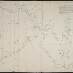
A map of Java: chiefly from surveys made during the British administration

event1817

location_onIndonesia

Made for ‘A History of Java’ by Sir Stamford Raffles, this map includes a list of administrative districts with their populations, and four inset maps of harbours. Another inset map shows rocks and minerals, mountains and volcanoes, and teak forests.

[Manuscript map of Manila Harbor and Bay Lake]

event1810

location_onPhilippines

This early 19th century hand-drawn map of Manila Bay has detailed instructions in Spanish on how to enter the bay, and the port at Cavite. Bathymetry (water depth), the mouths of rivers, and landmark mountains are shown to aid navigation.

A new chart of the straits of Sunda: From the manuscript of the Dutch East India Company

event1794

location_onIndonesia

Navigation chart of the Sunda Strait, showing bathymetry (sea depth), shoals and reefs, landmarks, and a rhumbline network. Notes record good anchorages, sources of water and supplies etc. Inset map of the Zutphen Islands off the coast of Sumatra.

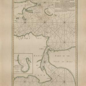
A new plan of the Straits, situated to the east of Java & Madura commonly called the Straits of Bali and of Pondi and Respondi

event1794

location_onIndonesia

A late 18th century navigation map of the waters between the islands of Java, Madura and Bali. The web of lines is a rhumbline network, the numbers indicate sea depth (bathymetry), and there is an inset map of the Bay of Ballambouang, Java.

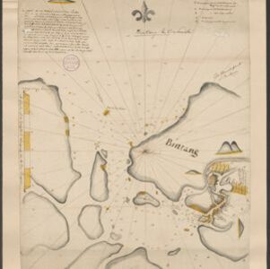
Bintang

eventc.1775-1799

location_onIndonesia, Malaysia

Hand-drawn map of islands in the Riau Archipelago, with bathymetry (sea depth) marked. It features side views of hills (‘elevations’) to use as landmarks, including ‘Jehore hill’, probably in Johor at the southern tip of the Malay Peninsula.

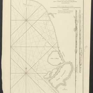
Plan de Salangor et de La Cote de Malaye: depuis la Pointe de Caran jusqu'au Mont Parcelar

event1775

location_onMalaysia

Map of the coast of Selangor on the west of the Malay Peninsula. The web of lines is a rhumbline network, the numbers indicate sea depth (bathymetry), and there are drawings of the side views of mountains (elevations), all to aid navigation.

close