Search Results

S.E. Peninsula and Malaysia
1849
Brunei, Cambodia, East Timor, Indonesia, Laos, Malaysia, Myanmar, Papua New Guinea, Philippines, Singapore, Southeast Asia, Thailand, Vietnam
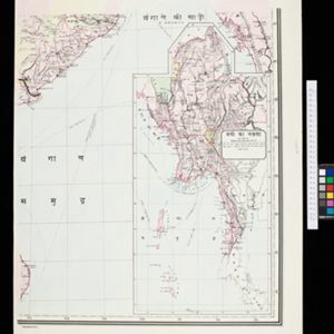
The colonial possessions of Britain, the Netherlands, Spain, Portugal and Denmark are shown on this mid-19th century map of Southeast Asia. There are inset maps of Penang Island and Singapore, and text describing the region’s colonial history.
- Filter from 1849 to 1899
- [remove]Kampong/Village3
- Military Fort1
- [remove]Regional Border3
- Colonial Possessions2
- District/Administrative Border1
- Contour Lines/Elevation3
- Longitude and Latitude3
- [remove]Written Note/Details3
- Scale2


