Search

Search Results

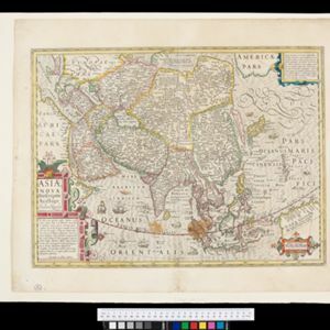
Asiæ Nova Descriptio Auctore Jodoco Hondio

event1630

location_onBrunei, Cambodia, East Timor, Indonesia, Laos, Malaysia, Myanmar, Philippines, Singapore, Southeast Asia, Thailand, Vietnam

A new map of the East Indies: taken from M. de Fer's map of Asia, shewing their cheif divisions, cities, towns, ports, rivers, mountains &c.

event1701

location_onBrunei, Cambodia, East Timor, Indonesia, Laos, Malaysia, Myanmar, Vietnam, Thailand, Southeast Asia, Singapore, Philippines

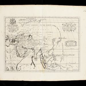
Ancient Asia: according to its general subdivisions and names of its countries together with their chief cities rivers mountains &c.

event1701

location_onBrunei, Cambodia, East Timor, Indonesia, Laos, Malaysia, Myanmar, Philippines, Singapore, Southeast Asia, Thailand, Vietnam

A map of the East-Indies and the adjacent countries: with the settlements, factories and territories, explaning what belongs to England, Spain, France, Holland, Denmark, Portugal &c.

event1720

location_onBrunei, Cambodia, East Timor, Indonesia, Laos, Malaysia, Myanmar, Philippines, Vietnam, Thailand, Southeast Asia, Singapore

To the Right Honourable William, Lord Cowper, Lord High Chancellor of Great Britain, this map of Asia

event1720

location_onBrunei, Cambodia, East Timor, Indonesia, Laos, Malaysia, Myanmar, Papua New Guinea, Philippines, Singapore, Southeast Asia, Thailand, Vietnam

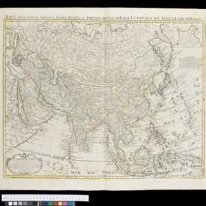
Carte d'Asie: dressée sur les memoires envoyéz par le Czar a l'Academie Royale des Science

eventc.1722-1774

location_onBrunei, Cambodia, East Timor, Indonesia, Laos, Malaysia, Myanmar, Philippines, Singapore, Southeast Asia, Thailand, Vietnam

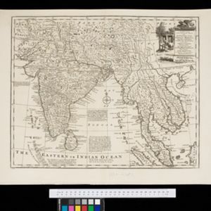
A new and accurate map of the Empire of the Great Mogul, together with India on both sides of the Ganges, and the adjacent countries

eventc.1740

location_onCambodia, Indonesia, Laos, Malaysia, Myanmar, Singapore, Thailand, Vietnam

A new and accurate map of the East India Islands: laid down according to the latest discoveries, and agreeable to the most approved maps & charts

event1750

location_onBrunei, Cambodia, East Timor, Indonesia, Laos, Malaysia, Myanmar, Vietnam, Thailand, Southeast Asia, Singapore, Philippines

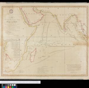
Chart... Shewing the Connection and respective distances by Sea, between the principal harbours and Settlements in the East Indies

event1794

location_onThailand, Myanmar, Malaysia, Indonesia

A new chart of the straits of Sunda: From the manuscript of the Dutch East India Company

event1794

location_onIndonesia

An Spherical Chart of a part of the Archipelago of the Phillipine Islands

event1804

location_onPhilippines

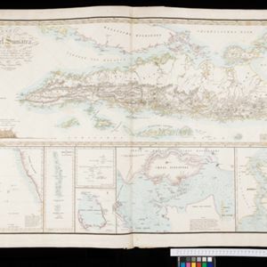
Karte von der Insel Sumatra

event1837

location_onMalaysia, Indonesia, Singapore

close

  • Filter from 1630 to 1900

Current results range from 1630 to 1900