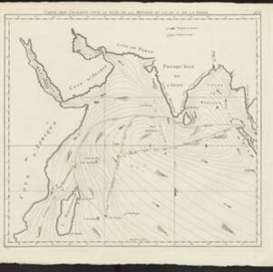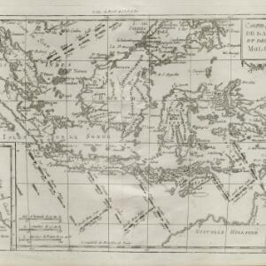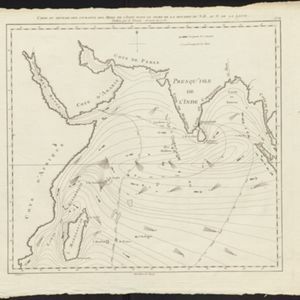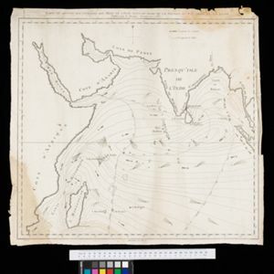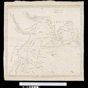
A chart of the currents in the Indian Sea during the southwest monsoon, to the northward of the line / A chart of the currents in the Indian Sea during the northeast monsoon, to the northward of the line
1794
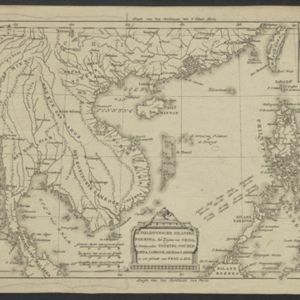
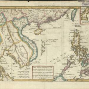
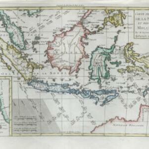
Malaysia, Indonesia, Myanmar, Thailand
Two maps of the Indian Ocean showing currents (represented by arrows) and winds (represented by letters A to F) during the monsoon seasons. Three routes—one old and two new—from the Isle de France (Mauritius) east to the Strait of Malacca are shown.