Search

Search Results

Chart of the China Sea

event1864

location_onPapua New Guinea, Indonesia, Malaysia, Cambodia, East Timor, Philippines, Singapore, Thailand, Vietnam

To aid navigation, this map shows small islands, shoals and reefs, maritime routes for use during monsoons or at particular times of the year, bathymetry (sea depth), tide information, shipwrecks, compass roses and landmark mountains at the coasts.

Reduzirte Karte vom Chinesischen Meere: 1stes oder Südliches Blatt

event1835

location_onBrunei, Cambodia, Indonesia, Malaysia, Singapore, Thailand

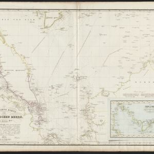
Navigation map of the southern South China Sea, with bathymetry (sea depth), islands, shoals and reefs marked. There are four maritime routes to China marked, with notes on what months or monsoon season to use them. Inset map of Gulf of Thailand.

Chart... Shewing the Connection and respective distances by Sea, between the principal harbours and Settlements in the East Indies

event1794

location_onThailand, Myanmar, Malaysia, Indonesia

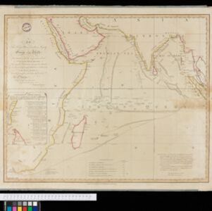
Maritime routes had to be adjusted in response to the changing monsoon seasons, as is seen on this late 18th century map of the Indian Ocean. Drawings of the heads of children blowing—called ‘wind-heads’—are used to indicate wind direction.

close

  • Filter from 1794 to 1864

Current results range from 1794 to 1864