
Search Results
Filter
Climate
Rainfall Data
Remove constraint Climate: Rainfall Data
Detailed Location
Malay Peninsula
Remove constraint Detailed Location: Malay Peninsula
Simple Location
Cambodia
Remove constraint Simple Location: Cambodia
Simple Location
Myanmar
Remove constraint Simple Location: Myanmar
12 Results found


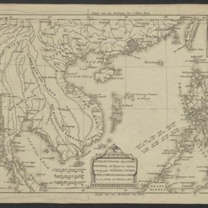
Physical chart of the Indian Ocean: shewing the temperature of the water, the currents of the air and ocean, directions of the wind, districts of hurricanes, regions of the monsoons & ty-foons, trade routes &c&c.
1849
Brunei, Cambodia, East Timor, Indonesia, Laos, Malaysia, Myanmar, Papua New Guinea, Philippines, Singapore, Southeast Asia, Thailand, Vietnam

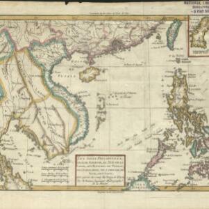


A map of the East-Indies and the adjacent countries: with the settlements, factories and territories, explaning what belongs to England, Spain, France, Holland, Denmark, Portugal &c.
1720
Brunei, Cambodia, East Timor, Indonesia, Laos, Malaysia, Myanmar, Philippines, Vietnam, Thailand, Southeast Asia, Singapore


- Filter from 1606 to 1875
- [remove]Cambodia12
- Malaysia12
- [remove]Myanmar12
- Thailand12
- Vietnam12
- Laos11
- Philippines11
- Indonesia10
- Brunei9
- East Timor9
- Singapore9
- Southeast Asia9
- more Simple Location »


