Search

Search Results

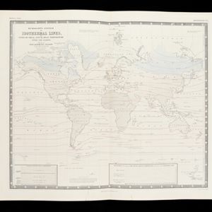
Humboldt's system of isothermal lines: or lines of equal annual mean temperature over the Globe

event1849

location_onBrunei, Cambodia, East Timor, Indonesia, Laos, Malaysia, Myanmar, Papua New Guinea, Philippines, Singapore, Southeast Asia, Thailand, Vietnam

A world map, including Southeast Asia, showing isothermal lines—lines that join locations of the same temperature—of annual mean temperature. There are also isobars (lines that join locations of the same barometric pressure).

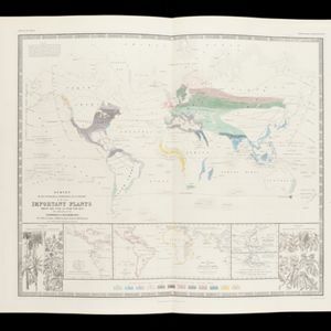
Survey of the geographical distribution and cultivation of the most important plants which are used as food for man: with indications of the isotheres & isochimenes, or lines of equal summer & winter temperature

event1849

location_onBrunei, Cambodia, East Timor, Indonesia, Laos, Malaysia, Myanmar, Papua New Guinea, Philippines, Singapore, Southeast Asia, Thailand, Vietnam

Map of important food crops (rice in Southeast Asia). Inset maps of tea, cassia, pepper, cinnamon, clove, nutmeg, sugar, coffee. With isothermal lines—lines joining locations of same temperature—of summer and winter temperatures, and plant drawings.

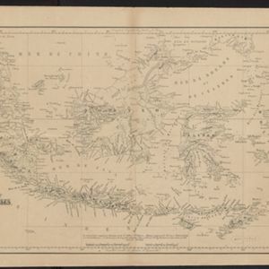
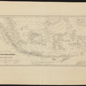
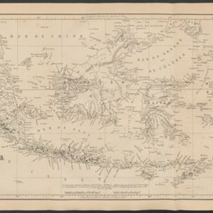
Carte générale des possessions néerlandaises aux Indes orientales

event1846

location_onBrunei, East Timor, Indonesia, Malaysia, Philippines, Singapore

Map of the Asian colonial possessions of the Netherlands (Dutch East Indies), with an inset of the heights of some of the region’s mountains. A note describes the average temperature, barometer reading and magnetic declination in Batavia at the time.

close

  • Filter from 1846 to 1849

Current results range from 1846 to 1849