Search Results

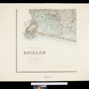
Topographische Kaart der residentie Bagelen
1890
Indonesia
The residency of Bagelen, Central Java, is shown divided into regencies and districts. Coffee, tea and cinnamon plantations, fields of rice, alang-alang and other crops, mountains, rivers, hot and mineral springs, settlements and routes are marked.

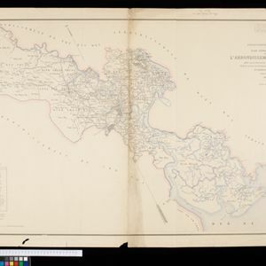
Plan topographique de l'arrondissement de Saigon
1885
Vietnam
Map of the district of Saigon (Ho Chi Minh City, Vietnam), based around the Fleuve Soirap (Soài Rạp River) as it winds its way down to the South China Sea. The city of Saigon is on its banks, surrounded by more rivers, roads, fields and villages.
- [remove]Factory4
- Warehouse2
- Market1
- Office1
- Shopping Area1
- River4
- Road4
- [remove]Telegraph/Telephone4
- Bridge3
- Path3
- Railway/Tramway3
- Canal2
- Postal Route2


