Search

Search Results

A map of the East-Indies and the adjacent countries: with the settlements, factories and territories, explaning what belongs to England, Spain, France, Holland, Denmark, Portugal &c.

eventc.1720

location_onBrunei, Cambodia, East Timor, Indonesia, Laos, Malaysia, Myanmar, Philippines, Singapore, Southeast Asia, Thailand, Vietnam

Der Hollaendisch-Ostindianischen Compagnie weltberühmte Haupt-Handels und Niederlags: Stadt Batavia

event1733

location_onIndonesia

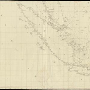
[Sumatra and the Strait of Malacca]

eventc.1800

location_onMalaysia, Singapore, Indonesia

[Sumatra and the Strait of Malacca]

eventc.1800

location_onMalaysia, Singapore, Indonesia

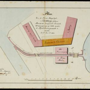
Plan van de nieuw aangelegde bakkerij, gelegen beweste de zaagmool

event1812

location_onIndonesia

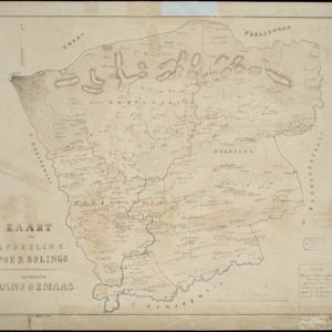
Kaart der afdeeling Poerbolingo: Residentie Banjoemaas

event1857

location_onIndonesia

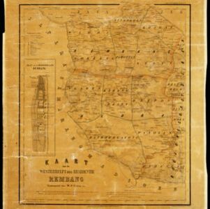
Kaart van de westerhelft der residentie Rembang

event1858

location_onIndonesia

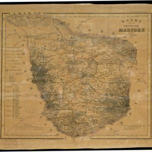
Kaart van de residentie Madioen

event1859

location_onIndonesia

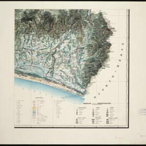
Topographische kaart der residentie Bagelen

event1860

location_onIndonesia

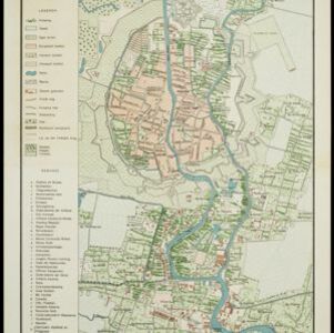
Kaart van Soerabaia 1866

event1866

location_onIndonesia

Plattegrond der stad Batavia

event1866

location_onIndonesia

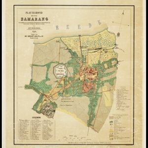
Plattegrond der stad Samarang

event1866

location_onIndonesia

close

  • Filter from 1720 to 1899

Current results range from 1720 to 1899