Search Results

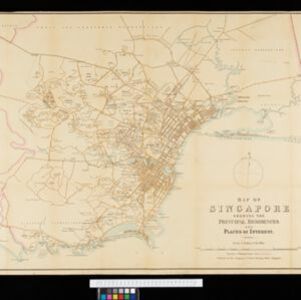
Map of Singapore showing the principal residences and places of interest
1892
Singapore
Map of the city of Singapore, including the central civic/business area around the Singapore River, Fort Canning, Tanjong Pagar dock, and residential areas. The city is surrounded by villages and plantations (pineapple, fruit and vegetable, coconut).

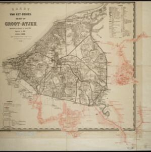
Kaart van het gebied bezet in Groot-Atjeh
1891
Indonesia
A map of Groot-Atjceh and the city of Kota Radja (modern Banda Aceh) at the northern tip of Sumatra, detailing routes (rivers, roads, railways), crops (rice, banana, sugarcane, betel, reed, alang-alang, bamboo) and land features (forests, wetlands).
- Filter from 1882 to 1896
- [remove]Market4
- Factory3
- Shopping Area2
- Warehouse2
- Office1
- Crops4
- [remove]Plantation/Forestry Area4
- Agricultural Pond1


