Search Results

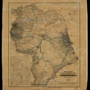
Algemeene kaart van Nederlandsch Oostindie
c.1839-1855
East Timor, Indonesia, Malaysia, Singapore
This map of the Dutch East Indies is spread over eight sheets, with a hand-drawn cover sheet showing the whole area. There are numerous inset maps of islands, bays, cities etc. Two of the inset maps have a replacement map pasted over them.

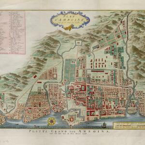
Plan d'Amboine, tel qu'il étoit en 1718 = Platte-grond van Amboina, zoo als het was in den jaare 1718
c.1746-1770
Indonesia
This colourful mid-18th century plan of the city of Amboine (Ambon, capital of Ambon Island, in the Maluku Islands, Indonesia) has a detailed legend identifying locations within the city and the surrounding mountains. The text is in French and Dutch.
- Filter from 1746 to 1890
- [remove]Market5
- Shopping Area3
- Warehouse2
- Factory1
- [remove]Mountain/Volcano5
- Wetlands3
- Jungle/Wooded Area2


