Search Results
5 Results found

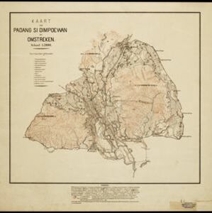
Kaart van Padang Si Dimpoewan en omstreken
1895
Indonesia
Map of Padang Si Dimpoewan (modern city of Padangsidempuan, northern Sumatra) including a military camp and accommodation, schools, a market, jail and graveyard. Crops are grown in the surrounding area: rice, coconut, coffee, alang-alang, bamboo.

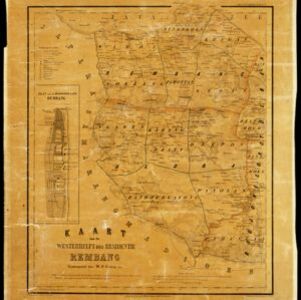
Kaart van de westerhelft der residentie Rembang
1858
Indonesia
Topographic map of the residency of Rembang, Central Java, divided into regencies and districts. Roads and villages are marked, with shoals, reefs and water depth at sea. An inset map of the city of Rembang features markets, warehouses, churches.

Der Hollaendisch-Ostindianischen Compagnie weltberühmte Haupt-Handels und Niederlags: Stadt Batavia
1747
Indonesia
The legend and written notes on this plan of Batavia (Jakarta) provide much detailed information about the important port city in the early 18th century. It is also beautifully decorated with paintings of the city, local people, animals and ships.

Der Hollaendisch-Ostindianischen Compagnie weltberühmte Haupt-Handels und Niederlags: Stadt Batavia
1733
Indonesia
The legend and written notes on this plan of Batavia (Jakarta) provide much detailed information about the important port city in the early 18th century. It is also beautifully decorated with paintings of the city, local people, animals and ships.
- Filter from 1733 to 1896
- [remove]Dutch East Indies5
- Java3
- Batavia2
- Jakarta2
- Sumatra2
- Arau River1
- Batang Arau1
- Central Java1
- Padang1
- Padang Si Dimpoewan1
- Padangsidempuan1
- Rembang1
- [remove]Cemetery/Columbarium5
- [remove]Post Office5
- Church4
- Kampong/Village4
- Residential Area4
- Hospital3
- Jail/Prison3
- Military Fort3
- Well3
- Communal Land/Property2
- Court of Law2
- Mosque2
- Palace2
- Public Space2
- more Settlement Features »
- [remove]Market5
- Factory4
- Shopping Area3
- Office2
- Warehouse2


