Search Results

Map of the Malay Peninsula 1879
1879
Malaysia, Singapore, Thailand
Six-sheet map of the Malay Peninsula, featuring settlements, mountains and rivers. Labels note names of indigenous peoples, or describe terrain/resources. There is an inset map of Singapore town, and the Straits Settlements are highlighted in red.

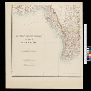
Eastern Bengal, Burmah and parts of China and Siam
1871
Myanmar, Laos, Thailand, Vietnam
The routes of nine expeditions (1830 to 1869) are marked on this map. There are also short notes about trading (e.g. at Oonoung in Burmah: ‘A bazaar, with a great variety of European goods’), and a list of other maps referenced in producing the map.

Military cantonments: town and suburbs of Akyab, 1853-54
1866
Myanmar
Plan of British military installations in the port town of Akyab, Burma (Sittwe, Myanmar), featuring piers on the Kolladyne River (Kaladan River), hospitals, a work house, mission house, hotel, bazaar, burial grounds, religious buildings etc.
- [remove]Colonial Possessions5
- Civic/Metropolitan Border4
- District/Administrative Border3
- Regional Border1


