Search

Search Results

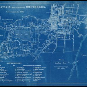
De stad Batavia met derzelver omstreken: Geteekend in 1826

event1898

location_onIndonesia

The city of Batavia (Jakarta) with its port and castle is to the north (right side of the map). Koningsplein (Merdeka Square), a large area of rice paddies, graveyards and villages can be seen to the south (left). Copied from a c.1826 map.

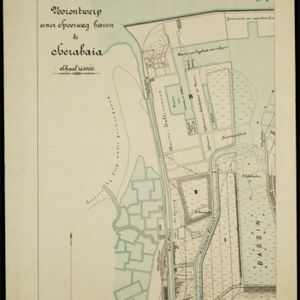
Voorontwerp eener spoorweghaven te Soerabaia

event1898

location_onIndonesia

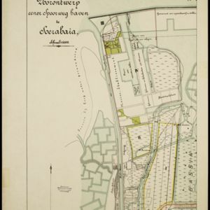
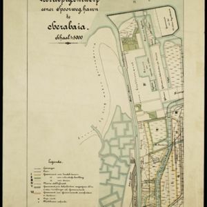
Spread over four sheets, this is a detailed hand-drawn plan for railway and tramway lines at the port of Soerabaia (Surabaya, East Java). It includes a railway station, commercial areas, housing, customs, warehouses, offices and government buildings.

Voorontwerp eener spoorweghaven te Soerabaia

event1897

location_onIndonesia

Spread over four sheets, this is a detailed hand-drawn plan for railway and tramway lines at the port of Soerabaia (Surabaya, East Java). It includes a railway station, commercial areas, housing, customs, warehouses, offices and government buildings.

Plan of Singapore town

event1893

location_onSingapore

Large-scale plan of Singapore city, spread over eight sheets. Includes the central civic/business area around the Singapore River, Tanjong Pagar dock, and residential areas. The city is surrounded by suburbs, cemeteries, mangroves, vegetable gardens.

close

  • Filter from 1893 to 1898

Current results range from 1893 to 1898