Search

Search Results

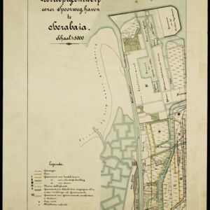
Voorontwerp eener spoorweghaven te Soerabaia

event1898

location_onIndonesia

Spread over four sheets, this is a detailed hand-drawn plan for railway and tramway lines at the port of Soerabaia (Surabaya, East Java). It includes a railway station, commercial areas, housing, customs, warehouses, offices and government buildings.

Handelskaart van Java en Madoera

event1898

location_onIndonesia

Map of Java and Madura showing routes, especially for trading purposes, including railways, tramways, roads, ports for steamship services, harbours for different types of imports and exports. A list of train and tram routes is included.

Voorontwerp eener spoorweghaven te Soerabaia

event1897

location_onIndonesia

Spread over four sheets, this is a detailed hand-drawn plan for railway and tramway lines at the port of Soerabaia (Surabaya, East Java). It includes a railway station, commercial areas, housing, customs, warehouses, offices and government buildings.
Topographische kaart van de residentie Preanger regentschappen

event1894

location_onIndonesia

The residency of Preanger (Parahyangan), West Java, with plantations (coconut, coffee, tea, cinchona (‘kina’), betel, teakwood, bamboo) and crops (rice, sugarcane, alang-alang). Two inset maps: a triangulation map, and a map of land route distances.

Kaart aangevende 1°. de verdeeling van Java en Madura in gewesten en wat de gouvernements-residentiën betreft, ook in afdeelingen en districten

event1884

location_onIndonesia

This late 19th century map shows Java and Madura divided into regencies and departments, and further divided into districts. Government land used for growing coffee, businesses, agriculture, railways, postal routes and major roads are also shown.

Handelskaartje van den Nederlandsch Indischen archipel

event1883

location_onIndonesia, East Timor

This map is concerned with trade in the Dutch East Indies, highlighting useful resources such as maritime routes, railways, telegraph lines and offices, coast and harbour lights, offices of officials, areas that apply tolls and duties etc.

Etappe-kaart van Java en Madoera

event1878

location_onIndonesia

This detailed map of Java and Madura covers four sheets, showing natural features (mountains, lakes, rivers, bays), residential areas (cities, towns, villages) and routes (railways, roads, sea routes). An inset map shows telegraph lines and offices.

Plattegrond der stad Samarang

event1866

location_onIndonesia

Mid-19th century map of the city of Samarang (Semarang, Central Java, Indonesia) dominated by the Fort Prins van Oranje. The railway station and Haven Kanal, which flows to the sea, are also prominent. The city is surrounded by villages and fields.

close

  • Filter from 1866 to 1898

Current results range from 1866 to 1898