Search

Search Results

Kaart van Soerabaia 1866

event1866

location_onIndonesia

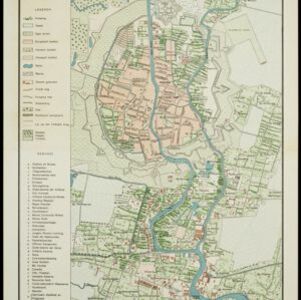
This map of the city of Soerabaia (modern Surabaya, East Java) shows the Mas and Pegirian rivers flowing through the city. The military fort and city streets are surrounded by wetlands, fields, plantations and villages. A 1931 reprint of an 1866 map.

Kaart der telegraaflijnen op Java

event1859

location_onIndonesia

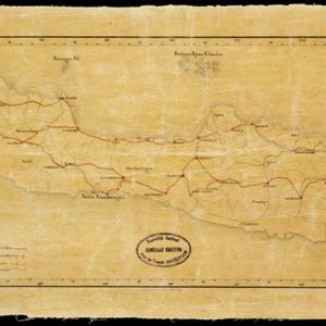
The red lines mark the telegraph lines (‘telegraaflÿnen’) found in mid-19th century Java. The red circles are telegraph offices (‘telegraafkantoren’). Postal routes (‘postwegen’), roads (‘binnenwegen’) and rivers (letter ‘R.’and name) are also shown.

Algemeene Atlas van Nederlandsche Indie

eventc.1853-1862

location_onIndonesia

Atlas featuring over 60 detailed maps of the Dutch East Indies: 24 maps cover Java; the remainder cover the rest of the Dutch East Indies. There are three index maps. (All the maps in this atlas are also presented separately on this platform.)

[Plattegrond van kasteel te Batavia]

event1800

location_onIndonesia

Hand-drawn floor plan of Batavia Castle (Jakarta, Java), with a detailed legend identifying many locations within the castle walls, including a church/chapel, storage areas, offices, gates and towers.

close

  • Filter from 1800 to 1898

Current results range from 1800 to 1898