Search

Search Results

Schetze van de stad Batavia, voorsteden en Chineesche kamp, dienende ter aanwijzing der rivieren en grachten... moeten worden uitgediept, uitgegraven of gedempt

event1898

location_onIndonesia

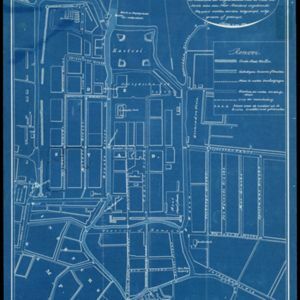
Plan of the city of Batavia (Jakarta) and its suburbs. Based on a report on health conditions in the city, it shows where the rivers and canals need to be deepened, excavated or filled in.

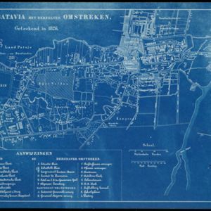
De stad Batavia met derzelver omstreken: Geteekend in 1826

event1898

location_onIndonesia

The city of Batavia (Jakarta) with its port and castle is to the north (right side of the map). Koningsplein (Merdeka Square), a large area of rice paddies, graveyards and villages can be seen to the south (left). Copied from a c.1826 map.

[Batavia en omgeving]

event1898

location_onIndonesia

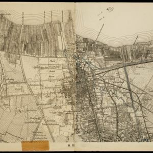
Four sheets from a larger series of maps, showing the city of Batavia (Jakarta, Java). The port, railway network and city centre are shown in great detail. To the west and south of the centre, there are villages, rice paddies, fields and wetlands.

Kaart van de Hoofdplaats Padang

event1896

location_onIndonesia

Map of the city of Padang, Sumatra, featuring roads, religious and military buildings, markets, warehouses and factories, and a railway station. Surrounding areas have villages and fields of rice, nutmeg, coconut, bamboo, alang-alang, sugarcane.

Plan of Singapore town

event1893

location_onSingapore

Large-scale plan of Singapore city, spread over eight sheets. Includes the central civic/business area around the Singapore River, Tanjong Pagar dock, and residential areas. The city is surrounded by suburbs, cemeteries, mangroves, vegetable gardens.

Plan van de nieuw aangelegde bakkerij, gelegen beweste de zaagmool

event1812

location_onIndonesia

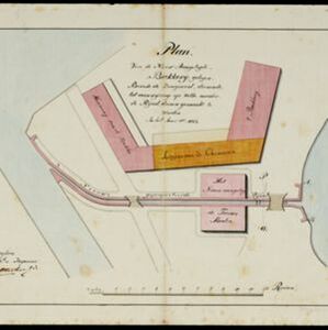
A plan of a bakery in an unknown location in the Dutch East Indies, next to a proposed water channel (‘rijool’) intended to power a saw mill. There are two additional sheets showing construction drawings of the water channel, with piling underneath.

Batavia

eventc.1772-1780

location_onIndonesia

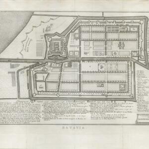
A plan of the port city of Batavia in the 18th century. Small ships can be seen transporting goods along the river to the pier, and the street plan also includes churches, shopping areas and hospitals, as noted on the map’s detailed legend.

close