Search Results
Filter
Commerce
Shopping Area
Remove constraint Commerce: Shopping Area
Land Routes
River
Remove constraint Land Routes: River
Language
English
Remove constraint Language: English
Settlement Features
Court of Law
Remove constraint Settlement Features: Court of Law
Settlement Features
Kampong/Village
Remove constraint Settlement Features: Kampong/Village
Settlement Features
Police Station
Remove constraint Settlement Features: Police Station
3 Results found

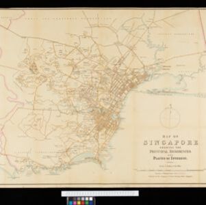
Map of Singapore showing the principal residences and places of interest
1892
Singapore
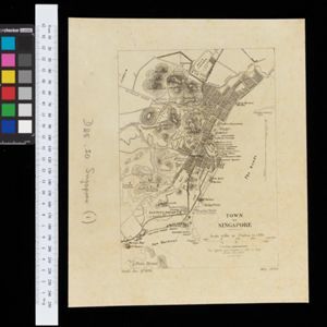
Map of the city of Singapore, including the central civic/business area around the Singapore River, Fort Canning, Tanjong Pagar dock, and residential areas. The city is surrounded by villages and plantations (pineapple, fruit and vegetable, coconut).
- Cemetery/Columbarium3
- Church3
- [remove]Court of Law3
- Hospital3
- Jail/Prison3
- [remove]Kampong/Village3
- [remove]Police Station3
- Residential Area3
- Public Space2
- Military Barracks1
- Military Fort1
- Mosque1
- Post Office1
- Temple1


