Search

Search Results

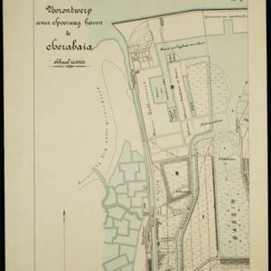
Voorontwerp eener spoorweghaven te Soerabaia

event1898

location_onIndonesia

Spread over four sheets, this is a detailed hand-drawn plan for railway and tramway lines at the port of Soerabaia (Surabaya, East Java). It includes a railway station, commercial areas, housing, customs, warehouses, offices and government buildings.
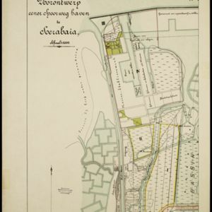
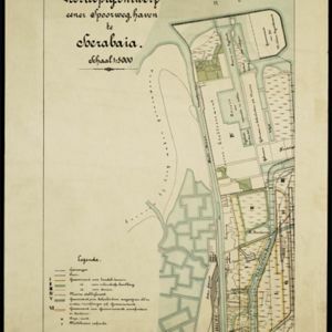
Voorontwerp eener spoorweghaven te Soerabaia

event1897

location_onIndonesia

Spread over four sheets, this is a detailed hand-drawn plan for railway and tramway lines at the port of Soerabaia (Surabaya, East Java). It includes a railway station, commercial areas, housing, customs, warehouses, offices and government buildings.

Plan of Singapore town

event1893

location_onSingapore

Large-scale plan of Singapore city, spread over eight sheets. Includes the central civic/business area around the Singapore River, Tanjong Pagar dock, and residential areas. The city is surrounded by suburbs, cemeteries, mangroves, vegetable gardens.

Town of Singapore

event1892

location_onSingapore

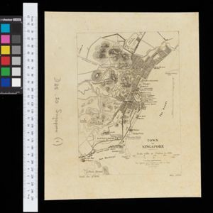
Plan of Singapore town, including Tanjong Pagar docks, the central civic/business area around the Singapore River, and residential areas. A roadstead—a body of water sheltered from tides/currents, for ships to anchor—is labelled ‘The Roads’.

Map of Singapore showing the principal residences and places of interest

event1892

location_onSingapore

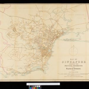
Map of the city of Singapore, including the central civic/business area around the Singapore River, Fort Canning, Tanjong Pagar dock, and residential areas. The city is surrounded by villages and plantations (pineapple, fruit and vegetable, coconut).

The town of Singapore

eventc.1887-1888

location_onSingapore

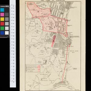
Plan of Singapore town, including Tanjong Pagar docks, the central civic/business area around the Singapore River, and residential areas. The Government House area (now known as The Istana), and areas of Chinese theatres, are highlighted.

Map of the Malay Peninsula

event1883

location_onMalaysia, Singapore

The Straits Settlements are in red, with the rest of the map marked with names of local peoples (‘Inhabited by the Johor Jakuns’) and resources (mines). Many areas are left blank or vague as unexplored or approximate. Inset map of Singapore city.

Kaart van Soerabaia 1866

event1866

location_onIndonesia

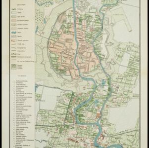
This map of the city of Soerabaia (modern Surabaya, East Java) shows the Mas and Pegirian rivers flowing through the city. The military fort and city streets are surrounded by wetlands, fields, plantations and villages. A 1931 reprint of an 1866 map.

close

  • Filter from 1866 to 1898

Current results range from 1866 to 1898