Search

Search Results

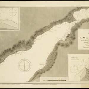
Moluksche archipel: Baai van Amboina

event1895

location_onIndonesia

A map to aid navigation in Ambon Bay, on the island of Ambon in the Maluku Islands: bathymetry (sea depth) and mountains are shown along the coasts, with inset maps of a coal mine pier and Fort Victoria. A second map updates the coal mine pier map.

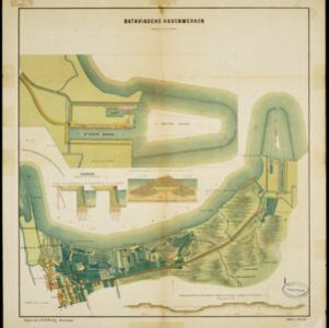
Bataviasche havenwerken

event1880

location_onIndonesia

A map of the rail, canal and road connections of Batavia (Jakarta, Java) and its port of Tanjung Priok. There is an inset map of the port—harbours, dock, coal sheds, well and water tower—and cross-sections of the inner harbour walls and harbour dam.

close

  • Filter from 1880 to 1895

Current results range from 1880 to 1895