Search

Search Results

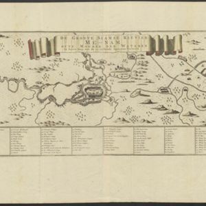
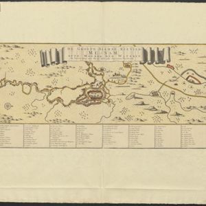
De Groote Siamse Rievier Me-Nam, ofte Moeder der Wateren: In haren loop met de in vallende Spruyten Verbeeld

event1726

location_onThailand

Map of the Me-nam River (Chao Phraya River) with the city of Ayutthaya (labelled ‘Siri India’) in the centre. Its mouth at the Gulf of Thailand is to the left. Over 100 buildings, towns and other places are shown pictorially and listed in the legend.
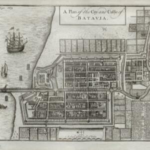

A plan of the city and castle of Batavia

event1746

location_onIndonesia

A mid-18th century plan of Batavia (Jakarta), the main port of the Dutch East India Company's trading network in Southeast Asia. Ships can be seen transporting goods along ‘The Great River’ to the sea, overseen by Batavia Castle at the river’s mouth.

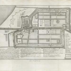
Batavia

eventc.1772-1780

location_onIndonesia

A plan of the port city of Batavia in the 18th century. Small ships can be seen transporting goods along the river to the pier, and the street plan also includes churches, shopping areas and hospitals, as noted on the map’s detailed legend.

Kaart van de Hoofdplaats Padang

event1896

location_onIndonesia

Map of the city of Padang, Sumatra, featuring roads, religious and military buildings, markets, warehouses and factories, and a railway station. Surrounding areas have villages and fields of rice, nutmeg, coconut, bamboo, alang-alang, sugarcane.

Atlas van Nederlandsch Oost-Indië

eventc.1897-1904

location_onIndonesia

Very detailed atlas of the entire Dutch East Indies, over 16 map sheets, with a cover and overview map. Includes topographic maps, inset maps of cities and islands, and maps featuring land and sea routes, languages, geology, colonial territory etc.

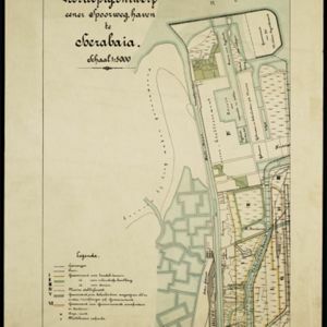
Voorontwerp eener spoorweghaven te Soerabaia

event1897

location_onIndonesia

Spread over four sheets, this is a detailed hand-drawn plan for railway and tramway lines at the port of Soerabaia (Surabaya, East Java). It includes a railway station, commercial areas, housing, customs, warehouses, offices and government buildings.

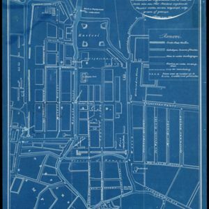
Schetze van de stad Batavia, voorsteden en Chineesche kamp, dienende ter aanwijzing der rivieren en grachten... moeten worden uitgediept, uitgegraven of gedempt

event1898

location_onIndonesia

Plan of the city of Batavia (Jakarta) and its suburbs. Based on a report on health conditions in the city, it shows where the rivers and canals need to be deepened, excavated or filled in.

close