Search

Search Results

A map of the East-Indies and the adjacent countries: with the settlements, factories and territories, explaning what belongs to England, Spain, France, Holland, Denmark, Portugal &c.

event1720

location_onBrunei, Cambodia, East Timor, Indonesia, Laos, Malaysia, Myanmar, Philippines, Vietnam, Thailand, Southeast Asia, Singapore

This map showcases the colonial territories of Southeast Asia in the 18th century, with text detailing trading information and the products of each region. There are five inset maps featuring plans of specific trading ports.

Algemeene Atlas van Nederlandsche Indie

eventc.1853-1862

location_onIndonesia

Atlas featuring over 60 detailed maps of the Dutch East Indies: 24 maps cover Java; the remainder cover the rest of the Dutch East Indies. There are three index maps. (All the maps in this atlas are also presented separately on this platform.)

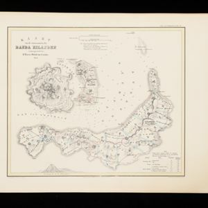
Kaart van de voornaamsten der Banda Eilanden

event1854

location_onIndonesia

Map of the Banda Islands, with a volcano on Goenong Api, two forts (‘Ft. Belgica’ and ‘Ft. Nassau’) on Neira, and a list of the heights of the mountains. (From ‘Algemeene Atlas van Nederlandsche Indie [General Atlas of the Dutch East Indies]’.)

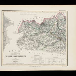
Kaart van de Residentie Preanger Regentschappen: No. I

event1857

location_onIndonesia

Map of the Dutch colonial administrative region (residency) of Preanger Regentschappen, Java with warehouses, factories, mills, cinchona (‘kina’) plantations. (From ‘Algemeene Atlas van Nederlandsche Indie [General Atlas of the Dutch East Indies]’.)

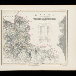
Kaart van de Residentie Preanger Regentschappen: No. II

event1857

location_onIndonesia

Map of the Dutch colonial administrative region (residency) of Preanger Regentschappen, Java with warehouses, factories, mills, cinchona (‘kina’) plantations. (From ‘Algemeene Atlas van Nederlandsche Indie [General Atlas of the Dutch East Indies]’.)

Kaart van de Oosterhelft der Residentie Samarang

event1858

location_onIndonesia

Map of the Dutch colonial administrative region (residency) of Samarang (Semarang, Java) with ruined temples, a sugar factory, tobacco warehouse and rice mill. (From ‘Algemeene Atlas van Nederlandsche Indie [General Atlas of the Dutch East Indies]’.)

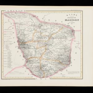
Kaart van de Residentie Madioen

event1859

location_onIndonesia

Map of the Dutch colonial administrative region (residency) of Madioen (Madiun, Java). A sugar factory, cinnamon shed, and indigo plant mill are marked. (From ‘Algemeene Atlas van Nederlandsche Indie [General Atlas of the Dutch East Indies]’.)

Topographische kaart der residentie Madioen

event1878

location_onIndonesia

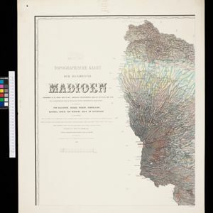
Four-sheet topographic map of the mountainous residency of Madioen (Madiun, East Java), divided into regencies (pink borders) and districts (yellow borders). Crops—sugarcane, alang-alang, rice, coffee—sugar factories and coffee warehouses are shown.

Topographische Kaart der residentie Probolinggo

event1885

location_onIndonesia

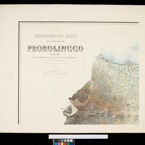
Four-sheet topographic map of the residency of Probolinggo (East Java), with an inset map of distances between locations by rail and road, and a signal map. Crops, fishing ponds, sugar factories, and coffee and salt warehouses are shown.

The town of Singapore

eventc.1887-1888

location_onSingapore

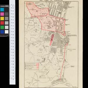
Plan of Singapore town, including Tanjong Pagar docks, the central civic/business area around the Singapore River, and residential areas. The Government House area (now known as The Istana), and areas of Chinese theatres, are highlighted.

Kaart van de residentie Oostkust van Sumatra

event1889

location_onIndonesia

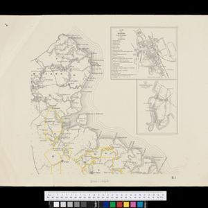
Detailed topographical map of the east coast of Sumatra, spread over 34 sheets. The area’s farms are listed and shown on the map, with types of crop grown. With five inset maps of individual towns. Two sheets and the cover sheet are missing.

Sumatra

event1889

location_onIndonesia

Map of the city of Padang on the west coast of Sumatra, with inset maps of the nearby islands, featuring residential, business, government and military areas. There are also agricultural areas with coconut, nutmeg, bamboo, nipa palm and sago palm.

close

  • Filter from 1720 to 1899

Current results range from 1720 to 1899