
Search Results
Filter
Map Maker
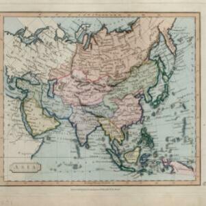
Cary, John
Remove constraint Map Maker: Cary, John
Sea Features
Reef
Remove constraint Sea Features: Reef
Political Regions
Regional Border
Remove constraint Political Regions: Regional Border
Collections
National Library Board Singapore
Remove constraint Collections: National Library Board Singapore
2 Results found
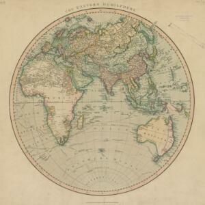
The Eastern Hemisphere
1801
Myanmar, Brunei, Cambodia, East Timor, Indonesia, Laos, Malaysia, Vietnam, Thailand, Southeast Asia, Singapore, Philippines
Published by the English cartographer John Cary (c.1754–1835), this map is marked with the routes taken from Europe to Asia by the British Royal Navy captains James Cook, John Gore, and George Vancouver, as well as the French explorer Lapérouse.
- [remove]Regional Border2


