
Search Results
Filter
Map Maker
Groot, J.G. de
Remove constraint Map Maker: Groot, J.G. de
Land Features
Mountain/Volcano
Remove constraint Land Features: Mountain/Volcano
Detailed Location
Dutch East Indies
Remove constraint Detailed Location: Dutch East Indies
Place of Publication
Brussels
Remove constraint Place of Publication: Brussels
3 Results found
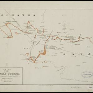


[Verzamelkaart van door uitbarsting en vloedgolf verwoeste gebieden]
1883
Indonesia
Nine maps of the effects of the 1883 Krakatoa volcanic eruption, including on Rakata Island itself, and Calmeyer Island (formed by the eruption). Other maps use brown shading to show the flooding of nearby islands and settlements by ensuing tsunamis.


